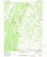
1967 Map of Maysville
USGS Topo · Published 1987About this map
New Creek Mountain and Knobly Mountain dominate this mid-century topographic record of Grant County, creating a series of dramatic gaps and hollows that shaped local settlement and travel. The town of Petersburg sits at the southern edge near the South Br Potomac, serving as a hub for the surrounding rural valleys. Along the winding Maysville Road, the small village of Maysville is established near Mays Gap, while smaller settlements like Streby are tucked away near Little Star Run.
Find a feature on this map
46 named features on this map. Tap any name to fly to it.
Don’t see what you’re looking for? This feature index may not catch every label — zoom into the map to look around manually.
Map Details
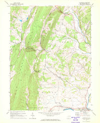
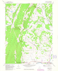
Editions of this 1967 Maysville Map
3 editions found
Other maps of this area

1892 · Franklin
USGS Topo · 1:125,000

1895 · Piedmont
USGS Topo · 1:125,000

1896 · Franklin
USGS Topo · 1:125,000

1916 · Davis
USGS Topo · 1:48,000

1918 · Davis
USGS Topo · 1:62,500

1919 · Davis
USGS Topo · 1:62,500

1920 · Davis
USGS Topo · 1:48,000

1920 · Petersburg
USGS Topo · 1:48,000

1920 · Onego
USGS Topo · 1:62,500

1921 · Petersburg
USGS Topo · 1:48,000