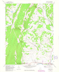
1967 Map of Maysville
USGS Topo · Published 1982About this map
Knobly Mountain and New Creek Mountain dominate this part of Grant County, creating a series of dramatic gaps where local waters have carved through the ridge. Significant natural passages like Kline Gap, Real Gap, and Robinson Gap provided essential travel corridors for early settlers navigating this upland terrain. Along the eastern edge, the settlement of Maysville sits near Mays Gap, while the southern border captures the outskirts of Petersburg near the South Br Potomac River.
Find a feature on this map
35 named features on this map. Tap any name to fly to it.
Don’t see what you’re looking for? This feature index may not catch every label — zoom into the map to look around manually.
Map Details
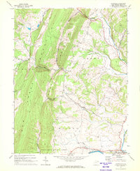
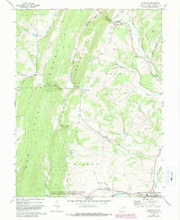
Editions of this 1967 Maysville Map
3 editions found
Other maps of this area

1892 · Franklin
USGS Topo · 1:125,000

1895 · Piedmont
USGS Topo · 1:125,000

1896 · Franklin
USGS Topo · 1:125,000

1916 · Davis
USGS Topo · 1:48,000

1918 · Davis
USGS Topo · 1:62,500

1919 · Davis
USGS Topo · 1:62,500

1920 · Davis
USGS Topo · 1:48,000

1920 · Petersburg
USGS Topo · 1:48,000

1920 · Onego
USGS Topo · 1:62,500

1921 · Petersburg
USGS Topo · 1:48,000