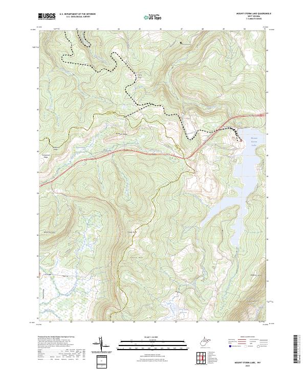
2023 Map of Mount Storm Lake
USGS Topo · Published 2023About this map
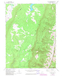
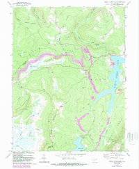
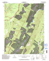
Mount Storm Lake and the Stony River Reservoir dominate this West Virginia landscape, highlighting the industrial and natural hydrology of the Allegheny Front. The topography is defined by significant ridges and peaks including Cabin Mtn, Cherry Ridge, and Snowy Point, which overlook the high-elevation wetland of Elder Swamp. The presence of the Stony River Dam underscores the managed water systems that feed into the Stony River, while the Baker Family Cem provides a specific genealogical anchor for local history researchers. The southwestern corner of the sheet transitions into the Canaan Valley, where the headwaters of the Little Blackwater River and Glad Run originate. The network of mountain roads, such as A-Frame Road Trl and State Rte 93, illustrates the modern access patterns through this complex terrain of Grant and Tucker counties.
Find a feature on this map
37 named features on this map. Tap any name to fly to it.
Don’t see what you’re looking for? This feature index may not catch every label — zoom into the map to look around manually.
Map Details
Editions of this 2023 Mount Storm Lake Map
This is the sole edition of this map. No revisions or reprints were ever made.
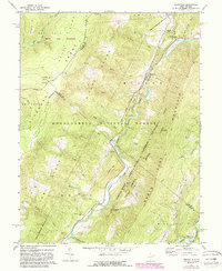
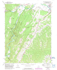
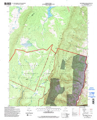
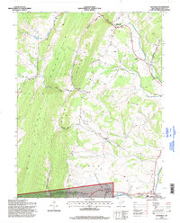
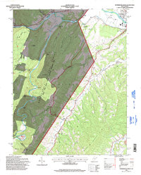
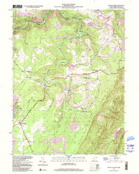
Historical Maps of Tucker County Through Time
24 maps found
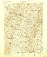
1921 Greenland Gap
Grant County, WV
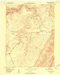
1949 Mount Storm
Grant County, WV
1951 Mount Storm
Grant County, WV
1967 Blackbird Knob
Grant County, WV
1967 Greenland Gap
Grant County, WV
1967 Maysville
Grant County, WV
1967 Medley
Grant County, WV
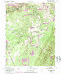
1967 Mount Storm Lake
Grant County, WV
1969 Hopeville
Grant County, WV
1969 Petersburg West
Grant County, WV
1995 Blackbird Knob
Grant County, WV
1995 Hopeville
Grant County, WV
1995 Maysville
Grant County, WV
1995 Petersburg West
Grant County, WV
1997 Mount Storm
Grant County, WV
1997 Mount Storm Lake
Grant County, WV
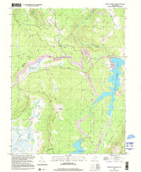
2023 Blackbird Knob
Grant County, WV
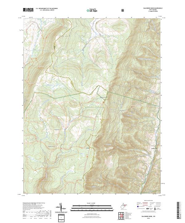
2023 Greenland Gap
Grant County, WV
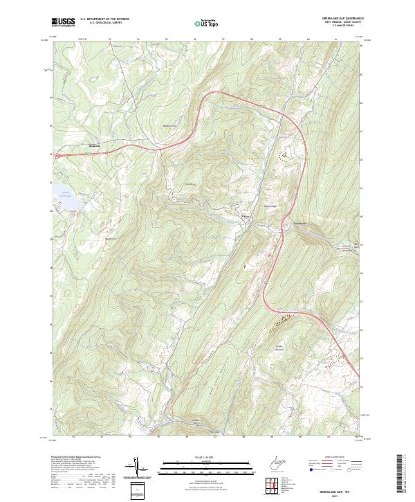
2023 Hopeville
Grant County, WV
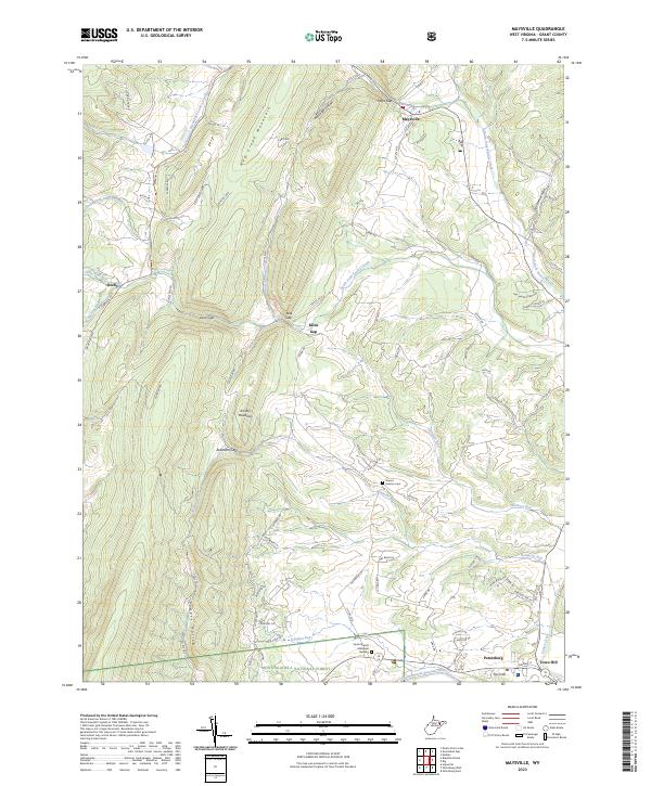
2023 Maysville
Grant County, WV
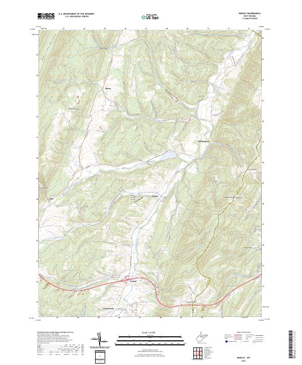
2023 Medley
Grant County, WV
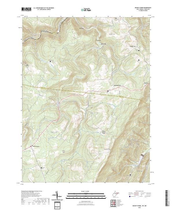
2023 Mount Storm
Grant County, WV
2023 Mount Storm Lake
Grant County, WV
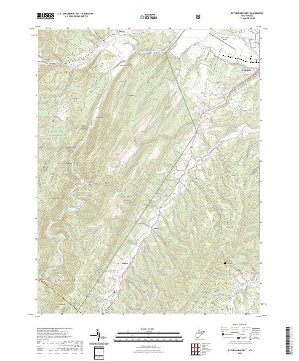
2023 Petersburg West
Grant County, WV