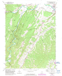
1969 Map of Petersburg West
USGS Topo · Published 1989About this map
The South Branch Potomac River carves a deep valley through the heart of this Appalachian landscape, separating the high ridges of Cave Mountain and Big Mountain. In the late 1960s, this region remained a rural mosaic of small farming settlements and protected wilderness within the Monongahela National Forest. The map documents a dense network of country churches that served these isolated valley communities, including St Johns Ch, Bethel Ch, and Gordon Chapel. Along the river's winding path, landmarks like Peacock Cave and Blue Rock mark the limestone geology of the Seneca Rocks National Recreation Area. The northeast corner shows the expansion of Petersburg, where the Grant Co Airport and Petersburg Fish Hatchery stand near the confluence of Mill Creek and the river. Numerous mountain gaps, such as Stillhouse Gap, Austin Gap, and Redman Gap, indicate the historic passage points through the high terrain.
Find a feature on this map
48 named features on this map. Tap any name to fly to it.
Don’t see what you’re looking for? This feature index may not catch every label — zoom into the map to look around manually.
Map Details
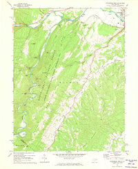
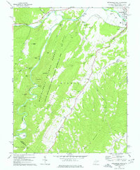
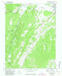
Editions of this 1969 Petersburg West Map
4 editions found
Other maps of this area

1892 · Franklin
USGS Topo · 1:125,000

1895 · Piedmont
USGS Topo · 1:125,000

1896 · Franklin
USGS Topo · 1:125,000

1916 · Davis
USGS Topo · 1:48,000

1918 · Davis
USGS Topo · 1:62,500

1919 · Davis
USGS Topo · 1:62,500

1920 · Davis
USGS Topo · 1:48,000

1920 · Petersburg
USGS Topo · 1:48,000

1920 · Onego
USGS Topo · 1:62,500

1921 · Petersburg
USGS Topo · 1:48,000