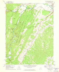
1969 Map of Petersburg West
USGS Topo · Published 1973About this map
The South Branch Potomac River flows through the northern reaches of this territory, where the settlement of Petersburg sits at the junction of Johnson Run and the main river channel. In the late 1960s, this landscape was defined by the intersection of mountain ridges and narrow valleys, notably Cave Mountain and Big Mountain, which fall within the Monongahela National Forest. Small farming communities and rural centers like Cabins, Landes, and Pansy are connected by narrow roads following the creek beds, such as North Creek and Mill Creek. Local landmarks including the Petersburg Fish Hatchery and several rural churches, such as St Johns Ch and Bethel Ch, reflect the established social fabric of this Potomac Highlands region. The presence of numerous Cem labels throughout the hollows and mountain gaps provides significant evidence of family homesteads scattered across the ridges.
Find a feature on this map
52 named features on this map. Tap any name to fly to it.
Don’t see what you’re looking for? This feature index may not catch every label — zoom into the map to look around manually.
Map Details
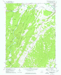
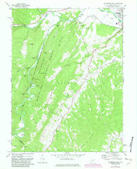
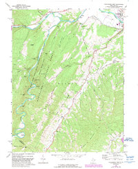
Editions of this 1969 Petersburg West Map
4 editions found
Other maps of this area

1892 · Franklin
USGS Topo · 1:125,000

1895 · Piedmont
USGS Topo · 1:125,000

1896 · Franklin
USGS Topo · 1:125,000

1916 · Davis
USGS Topo · 1:48,000

1918 · Davis
USGS Topo · 1:62,500

1919 · Davis
USGS Topo · 1:62,500

1920 · Davis
USGS Topo · 1:48,000

1920 · Petersburg
USGS Topo · 1:48,000

1920 · Onego
USGS Topo · 1:62,500

1921 · Petersburg
USGS Topo · 1:48,000