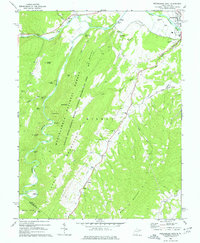
1969 Map of Petersburg West
USGS Topo · Published 1977About this map
The South Branch Potomac River and the North Fork Potomac River converge near Petersburg, defining a landscape where narrow valleys support concentrated settlements and agriculture. In the late 1960s, this area of the Potomac Highlands maintained a strong rural infrastructure, with small communities like Pansy, Landes, and Cabins connected by winding roads and a network of country churches including St Johns Ch and Bethel Ch. Much of the western terrain is dominated by the Monongahela National Forest and the Spruce Knob-Seneca Rocks National Recreation Area, where prominent landmarks like Bulls Head and Castle Rock rise above the deep hollows.
Find a feature on this map
51 named features on this map. Tap any name to fly to it.
Don’t see what you’re looking for? This feature index may not catch every label — zoom into the map to look around manually.
Map Details
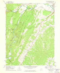
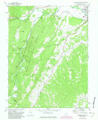
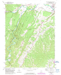
Editions of this 1969 Petersburg West Map
4 editions found
Other maps of this area

1892 · Franklin
USGS Topo · 1:125,000

1895 · Piedmont
USGS Topo · 1:125,000

1896 · Franklin
USGS Topo · 1:125,000

1916 · Davis
USGS Topo · 1:48,000

1918 · Davis
USGS Topo · 1:62,500

1919 · Davis
USGS Topo · 1:62,500

1920 · Davis
USGS Topo · 1:48,000

1920 · Petersburg
USGS Topo · 1:48,000

1920 · Onego
USGS Topo · 1:62,500

1921 · Petersburg
USGS Topo · 1:48,000