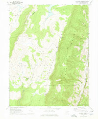
1967 Map of Blackbird Knob
USGS Topo · Published 1975About this map
Cabin Mountain and the high ridges of the Allegheny Front dominate this 1967 survey of the West Virginia highlands. The landscape is defined by the headwaters of the Red Creek watershed, including Glade Run, Alder Run, and Fisher Spring Run. This high-altitude plateau, much of which is protected within the Monongahela National Forest, shows a complex network of trails and jeep tracks leading to landmarks like Stack Rock, Bear Rocks, and the peak of Blackbird Knob. Along the eastern edge, the terrain drops sharply toward the Jordan Run valley, where several small Cem sites and a Quarry appear near the Tucker Co Grant Co line. These features suggest a history of high-country timbering or recreation, centered around the Red Creek Campground.
Find a feature on this map
21 named features on this map. Tap any name to fly to it.
Don’t see what you’re looking for? This feature index may not catch every label — zoom into the map to look around manually.
Map Details
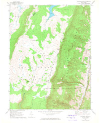
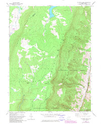
Editions of this 1967 Blackbird Knob Map
3 editions found
Other maps of this area

1892 · Franklin
USGS Topo · 1:125,000

1895 · Piedmont
USGS Topo · 1:125,000

1896 · Franklin
USGS Topo · 1:125,000

1916 · Davis
USGS Topo · 1:48,000

1918 · Davis
USGS Topo · 1:62,500

1919 · Davis
USGS Topo · 1:62,500

1920 · Davis
USGS Topo · 1:48,000

1920 · Petersburg
USGS Topo · 1:48,000

1920 · Onego
USGS Topo · 1:62,500

1921 · Petersburg
USGS Topo · 1:48,000