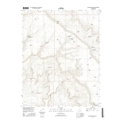
2017 Map of Blackburn Canyon
USGS Topo · Published 2017About this map
Straight Cliffs and Fiftymile Mtn dominate this remote landscape in Kane County, defining a dramatic plateau system cut by numerous canyons and gulches. The topographical survey highlights the intricate drainage networks of Blackburn Canyon and its tributaries, First Blackburn Canyon and Second Blackburn Canyon, which feed into the larger desert watershed. This 2017 study illustrates the complex geology of the Fiftymile Bench and the narrow Grand Bench Neck. Scattered water sources like Pleasant Grove Spring, Harry Colwes Spring, and Pocket Hollow Spring serve as vital landmarks in an otherwise arid environment. The map also identifies unique natural formations such as Window Wind Arch and the treacherous Willow Tank Slide, providing an essential record of the physical features used by ranchers and hikers throughout the region.
Find a feature on this map
47 named features on this map. Tap any name to fly to it.
Don’t see what you’re looking for? This feature index may not catch every label — zoom into the map to look around manually.
Map Details
Editions of this 2017 Blackburn Canyon Map
This is the sole edition of this map. No revisions or reprints were ever made.
Other maps of this area

1886 · Escalante
USGS Topo · 1:250,000

1922 · Warm Creek
USGS Topo · 1:63,360

1922 · Rees Canyon
USGS Topo · 1:63,360

1953 · Cummings Mesa
USGS Topo · 1:62,500

1953 · Gunsight Butte
USGS Topo · 1:62,500

1956 · Escalante
USGS Topo · 1:250,000

1960 · Escalante
USGS Topo · 1:250,000

1968 · East of The Navajo
USGS Topo · 1:24,000
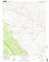
1968 · Big Hollow Wash
USGS Topo · 1:24,000
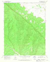
1968 · Basin Canyon
USGS Topo · 1:24,000