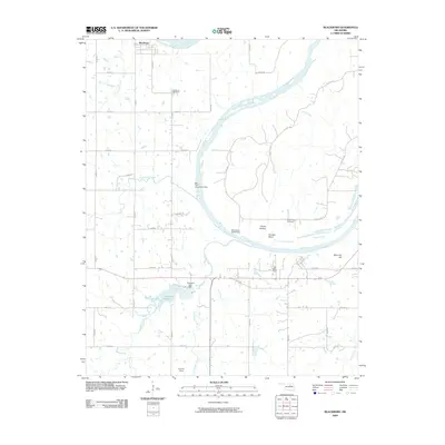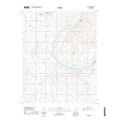
2022 Map of Blackburn
USGS Topo · Published 2022About this map
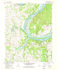
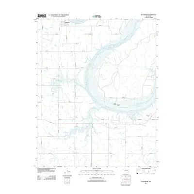
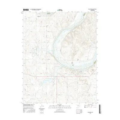
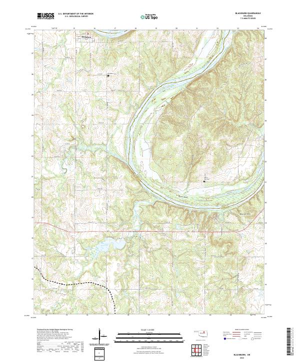
Blackburn sits at the northern edge of this Pawnee County landscape, positioned just south of the winding Arkansas River. This modern survey illustrates the rural character of the region, where the terrain is defined by the sharp Souters Bend and the prominent rise of Reservoir Hill in the southeast. Significant local water sources including Hellroaring Creek, Ranch Creek, and the Cleveland Reservoir provide a detailed look at the drainage patterns that have historically shaped local land use and ranching.
Find a feature on this map
53 named features on this map. Tap any name to fly to it.
Don’t see what you’re looking for? This feature index may not catch every label — zoom into the map to look around manually.
Map Details
Editions of this 2022 Blackburn Map
This is the sole edition of this map. No revisions or reprints were ever made.
Historical Maps of Blackburn Through Time
6 maps found