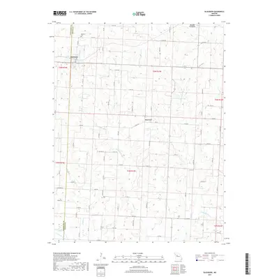
2017 Map of Blackburn
USGS Topo · Published 2017About this map
Blackburn straddles the county line between Lafayette and Saline in this detailed 2017 survey, serving as a focal point for a region defined by its productive agricultural sections and branching creek systems. The terrain is marked by the winding courses of Jordan Cr and Salt Pond Cr, which drain the rolling uplands between the small settlements of Elmwood and Mount Leonard. These waterways, along with Stoll Lake and the branching E Fork Elm Br, create a landscape of intricate drainage patterns that influenced early settlement and road placement.
Find a feature on this map
65 named features on this map. Tap any name to fly to it.
Don’t see what you’re looking for? This feature index may not catch every label — zoom into the map to look around manually.
Map Details
Editions of this 2017 Blackburn Map
This is the sole edition of this map. No revisions or reprints were ever made.
Other maps of this area

1885 · Warrensburg
USGS Topo · 1:125,000

1887 · Sedalia
USGS Topo · 1:125,000

1887 · Warrensburg
USGS Topo · 1:125,000

1889 · Lexington
USGS Topo · 1:125,000

1890 · Marshall
USGS Topo · 1:125,000

1892 · Marshall
USGS Topo · 1:125,000

1894 · Sedalia
USGS Topo · 1:125,000

1894 · Warrensburg
USGS Topo · 1:125,000

1901 · Marshall
USGS Topo · 1:125,000

1917 · Knobnoster
USGS Topo · 1:62,500