2021 Map of Blackburn
USGS Topo · Published 2021About this map
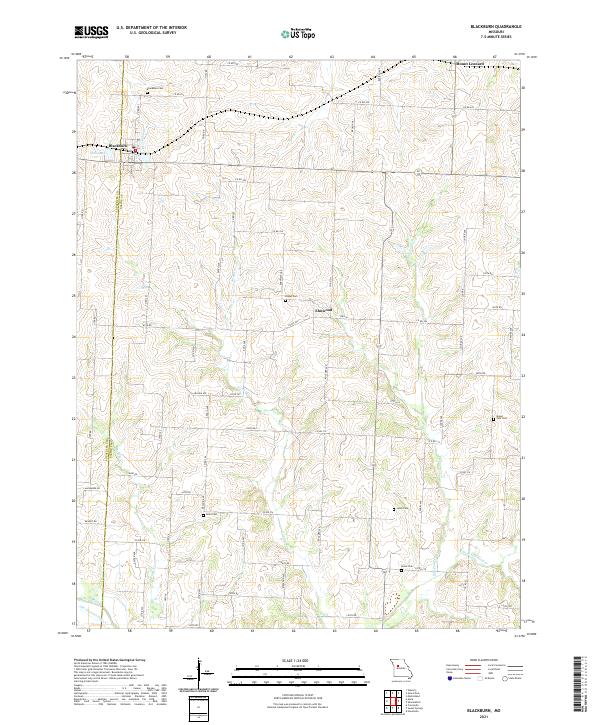
Lafayette and Saline counties meet in this agricultural landscape centered on the community of Blackburn. The terrain is defined by a dense network of country roads and several small tributaries, including Jordan Cr and Salt Pond Cr, which drain the rolling farmland. The map reveals a high concentration of burial sites that provide essential clues for family researchers, such as Blackburn Cem near the town center and more isolated locations like Pisgah Cem and Lynch Cem. Small rural clusters like Elmwood and Mount Leonard anchor the northern and central sections, while the southern edge is marked by the distinct winding path of the Old Channel Davis Cr. The layout of these settlements and cemeteries reflects the 19th-century homesteading patterns that shaped this border region of Missouri.
Find a feature on this map
41 named features on this map. Tap any name to fly to it.
Don’t see what you’re looking for? This feature index may not catch every label — zoom into the map to look around manually.
Map Details
Editions of this 2021 Blackburn Map
This is the sole edition of this map. No revisions or reprints were ever made.