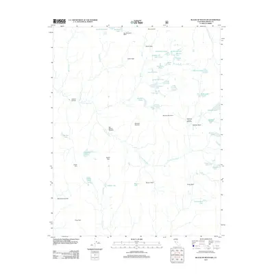
2012 Map of Blackcap Mountain
USGS Topo · Published 2012About this map
Blackcap Mountain stands at the center of this high-altitude landscape in the Sierra Nevada, where the headwaters of the N Fork Kings River and S Fork San Joaquin River begin their descent. The terrain is defined by glacial basins and expansive meadows, such as Big Maxson Meadow and Lightning Corral Meadow, which speak to the long history of seasonal grazing in these alpine reaches. Evidence of early pack trails and mountain pass navigation is preserved here through named crossings like Scepter Pass, Crown Pass, and Chuck Pass, connecting various granite-rimmed valleys.
Find a feature on this map
53 named features on this map. Tap any name to fly to it.
Don’t see what you’re looking for? This feature index may not catch every label — zoom into the map to look around manually.
Map Details
Editions of this 2012 Blackcap Mountain Map
This is the sole edition of this map. No revisions or reprints were ever made.
Other maps of this area

1903 · Tehipite
USGS Topo · 1:125,000

1905 · Tehipite
USGS Topo · 1:125,000

1912 · Mt. Goddard
USGS Topo · 1:125,000

1947 · Mariposa
USGS Topo · 1:250,000

1948 · Fresno
USGS Topo · 1:250,000

1948 · Mariposa
USGS Topo · 1:250,000

1948 · Mt. Goddard
USGS Topo · 1:62,500

1951 · Mt. Goddard
USGS Topo · 1:62,500

1952 · Mt. Goddard
USGS Topo · 1:62,500

1952 · Tehipite Dome
USGS Topo · 1:62,500