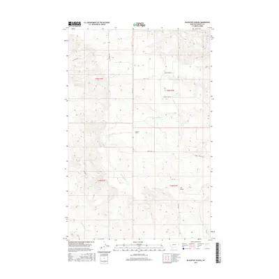
2017 Map of Blackfoot School
USGS Topo · Published 2017About this map
Blackfoot School stands as a central landmark in this portion of Garfield County, marking a localized point of community geography within the expansive drainage basin of Seven Blackfoot Cr. The landscape is defined by a network of intermittent watercourses including Indian Cr, Lone Tree Cr, and Nancy Russell Cr, which carve through the terrain of the Missouri River country. The road network reflects the practical ranching and travel needs of the region, anchored by Brusett Rd and the evocatively named Loomis & Clark Trl. These routes, along with Burma Rd and Boxcar Rd, provide the primary framework for navigating the section lines and township boundaries of this ranching landscape.
Find a feature on this map
16 named features on this map. Tap any name to fly to it.
Don’t see what you’re looking for? This feature index may not catch every label — zoom into the map to look around manually.
Map Details
Editions of this 2017 Blackfoot School Map
This is the sole edition of this map. No revisions or reprints were ever made.
Other maps of this area

1954 · Jordan
USGS Topo · 1:250,000

1956 · Jordan
USGS Topo · 1:250,000

1958 · Jordan
USGS Topo · 1:250,000

1964 · Jordan
USGS Topo · 1:250,000

1965 · Spring Creek School
USGS Topo · 1:24,000

1965 · Pine Grove School
USGS Topo · 1:24,000
1967 · Hay Coulee
USGS Topo · 1:24,000

1971 · Sawmill Creek
USGS Topo · 1:24,000

1971 · Chalk Butte
USGS Topo · 1:24,000

1978 · Fort Peck Lake West
USGS Topo · 1:100,000