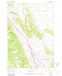
1953 Map of Blackhawk
USGS Topo · Published 1981About this map
Piedmont Butte dominates the northwestern landscape of this survey, standing as a prominent landmark on the edge of the Black Hills National Forest. The settlement of Blackhawk serves as a focal point along the Chicago and North Western railroad line, which cuts diagonally across the terrain alongside modern routes like 90. Local life is well-documented through several rural institutions, including Benoit Sch, Holmes Sch, and the Evergreen Sch near the southern boundary.
Find a feature on this map
23 named features on this map. Tap any name to fly to it.
Don’t see what you’re looking for? This feature index may not catch every label — zoom into the map to look around manually.
Map Details
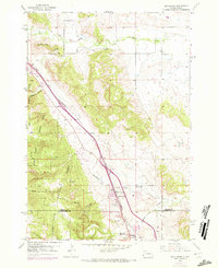
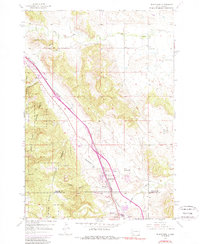
Editions of this 1953 Blackhawk Map
4 editions found
Other maps of this area

1893 · Rapid
USGS Topo · 1:125,000

1898 · Rapid
USGS Topo · 1:125,000

1903 · Rapid
USGS Topo · 1:125,000

1953 · Rapid City 1 SW
USGS Topo · 1:24,000

1953 · Blackhawk
USGS Topo · 1:24,000

1953 · Rapid City East
USGS Topo · 1:24,000

1953 · Piedmont
USGS Topo · 1:24,000

1953 · Rapid City NW
USGS Topo · 1:24,000

1953 · Rapid City West
USGS Topo · 1:24,000
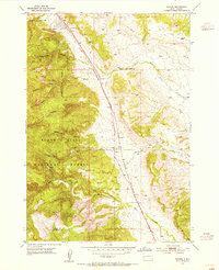
1953 · Tilford
USGS Topo · 1:24,000