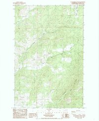
1985 Map of Blackhorse Canyon
USGS Topo · Published 1985About this map
Huckleberry Mountain anchors this 1985 topographic study in Stevens County, where the landscape is defined by the complex drainage of the Harvey Creek system. The map details the confluence of the North Fork Harvey Creek and the South Fork Harvey Creek, revealing a mid-1980s network of unimproved roads and forest trails that navigate the steep elevations. One distinct human imprint is the Smith Meadows Ditch, a water diversion feature reflecting local land use and resource management in this corner of the Pacific Northwest. Genealogists and local historians can locate a small Cem tucked away in the southwestern section of the map, while the presence of a Borrow Pit indicates the material extraction necessary for maintaining the remote road infrastructure. The map serves as a precise record of these drainages before later changes in forest management and road development.
Find a feature on this map
11 named features on this map. Tap any name to fly to it.
Don’t see what you’re looking for? This feature index may not catch every label — zoom into the map to look around manually.
Map Details
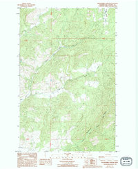
Editions of this 1985 Blackhorse Canyon Map
2 editions found
Other maps of this area

1927 · Chewelah
USGS Topo · 1:125,000

1930 · Chewelah
USGS Topo · 1:125,000

1948 · Hunters
USGS Topo · 1:62,500

1950 · Hunters
USGS Topo · 1:62,500

1950 · Inchelium
USGS Topo · 1:62,500

1954 · Okanogan
USGS Topo · 1:250,000

1958 · Okanogan
USGS Topo · 1:250,000

1958 · Sandpoint
USGS Topo · 1:250,000

1963 · Sandpoint
USGS Topo · 1:250,000
1965 · Empey Mountain
USGS Topo · 1:24,000