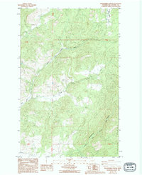
1985 Map of Blackhorse Canyon
USGS Topo · Published 1994About this map
Huckleberry Mountain dominates the southeastern topography of this Stevens County survey, which documents a landscape defined by timber, mountain drainage, and early resource extraction. The complex water network includes the North Fork and South Fork Harvey Creek, which converge to form Harvey Creek as it flows westward through the high country. Human presence is marked primarily by rural infrastructure and land management, such as the Borrow Pit and several Ditch systems used to move water across the uneven terrain. Genealogists may find interest in the isolated Cem located in the southwestern corner, while family-named landmarks like Smith Meadows provide clues to early land use in these highlands during the 1970s and 1980s.
Find a feature on this map
14 named features on this map. Tap any name to fly to it.
Don’t see what you’re looking for? This feature index may not catch every label — zoom into the map to look around manually.
Map Details
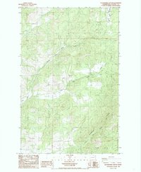
Editions of this 1985 Blackhorse Canyon Map
2 editions found
Other maps of this area

1927 · Chewelah
USGS Topo · 1:125,000

1930 · Chewelah
USGS Topo · 1:125,000

1948 · Hunters
USGS Topo · 1:62,500

1950 · Hunters
USGS Topo · 1:62,500

1950 · Inchelium
USGS Topo · 1:62,500

1954 · Okanogan
USGS Topo · 1:250,000

1958 · Okanogan
USGS Topo · 1:250,000

1958 · Sandpoint
USGS Topo · 1:250,000

1963 · Sandpoint
USGS Topo · 1:250,000
1965 · Empey Mountain
USGS Topo · 1:24,000