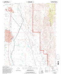
1994 Map of Blackrock
USGS Topo · Published 1997About this map
The Los Angeles Aqueduct dominates the hydrology of this high-desert landscape, cutting a straight path alongside the older meandering course of the Owens River. This 1994 revision by the Forest Service reveals the complex infrastructure of the Owens Valley, where the North Colosseum Ditch and Bypass Ditch redirect water across a terrain marked by ancient Lava flows. Near the settlement of Blackrock, the Black Rock Fish Hatchery stands as a focal point of local industry, situated just east of the Eightmile Ranch. To the east, the steep ascent of Crystal Ridge into the Inyo National Forest contrasts with the low-lying Tulare Swamp and Goose Lake to the south. An Old Railroad Grade traces the base of the mountains, marking the former path of the Carson and Colorado Railroad through this remote corridor.
Find a feature on this map
34 named features on this map. Tap any name to fly to it.
Don’t see what you’re looking for? This feature index may not catch every label — zoom into the map to look around manually.
Map Details
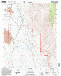
Editions of this 1994 Blackrock Map
2 editions found
Other maps of this area

1907 · Mt. Whitney
USGS Topo · 1:125,000

1913 · Bishop
USGS Topo · 1:125,000

1919 · Mt. Whitney
USGS Topo · 1:125,000

1937 · Mt. Whitney
USGS Topo · 1:125,000

1947 · Mariposa
USGS Topo · 1:250,000

1948 · Fresno
USGS Topo · 1:250,000

1948 · Mariposa
USGS Topo · 1:250,000

1950 · Big Pine
USGS Topo · 1:62,500

1951 · Waucoba Mtn.
USGS Topo · 1:62,500

1951 · Independence
USGS Topo · 1:62,500