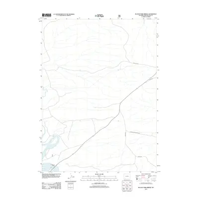
2012 Map of Blacks Fork Bridge
USGS Topo · Published 2012About this map
Blacks Fork Bridge anchors this high-desert landscape in Sweetwater County, marking a vital crossing over the meandering Blacks Fork river. The terrain is defined by its network of backcountry roads and tracks, including the Peru Cutoff Rd and Lost Dog Rd, which navigate the sparse drainage patterns of this arid region. To the south and east, the map detail encompasses a portion of the Flaming Gorge Natl Rec Area, highlighting the intersection of managed recreational land and remote Wyoming ranching or energy territory. The presence of Airport Rd and various Forest Service routes like Usfs Rd 168 illustrates the infrastructure required to service this open space, providing a clear view of the transportation corridors that connect these isolated points in the early 21st century.
Find a feature on this map
7 named features on this map. Tap any name to fly to it.
Don’t see what you’re looking for? This feature index may not catch every label — zoom into the map to look around manually.
Map Details
Editions of this 2012 Blacks Fork Bridge Map
This is the sole edition of this map. No revisions or reprints were ever made.
Other maps of this area

1954 · Rock Springs
USGS Topo · 1:250,000

1957 · Mc Kinnon Junction
USGS Topo · 1:62,500

1957 · Firehole Basin
USGS Topo · 1:62,500

1958 · Rock Springs
USGS Topo · 1:250,000

1961 · Peru
USGS Topo · 1:24,000

1961 · Green River
USGS Topo · 1:24,000

1961 · Bryan
USGS Topo · 1:24,000

1962 · Rock Springs
USGS Topo · 1:250,000

1966 · Firehole Basin
USGS Topo · 1:62,500

1966 · Mc Kinnon Junction
USGS Topo · 1:62,500