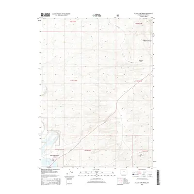
2015 Map of Blacks Fork Bridge
USGS Topo · Published 2015About this map
Blacks Fork meanders through the high desert landscape of southwestern Wyoming, carving a path through the arid terrain south of Green River. This section of the corridor is defined by the winding route of the Peru Cutoff Rd, which navigates the undulating topography and the prominent drainage of Telephone Canyon. The map reveals the early 21st-century configuration of transportation and water management in a region where historical trails and modern infrastructure often overlap. The presence of these named natural features among the cadastral survey lines highlights the geographical challenges faced by early travelers and surveyors moving through the basin towards the Uinta Mountains.
Find a feature on this map
3 named features on this map. Tap any name to fly to it.
Don’t see what you’re looking for? This feature index may not catch every label — zoom into the map to look around manually.
Map Details
Editions of this 2015 Blacks Fork Bridge Map
This is the sole edition of this map. No revisions or reprints were ever made.
Other maps of this area

1954 · Rock Springs
USGS Topo · 1:250,000

1957 · Mc Kinnon Junction
USGS Topo · 1:62,500

1957 · Firehole Basin
USGS Topo · 1:62,500

1958 · Rock Springs
USGS Topo · 1:250,000

1961 · Peru
USGS Topo · 1:24,000

1961 · Green River
USGS Topo · 1:24,000

1961 · Bryan
USGS Topo · 1:24,000

1962 · Rock Springs
USGS Topo · 1:250,000

1966 · Firehole Basin
USGS Topo · 1:62,500

1966 · Mc Kinnon Junction
USGS Topo · 1:62,500