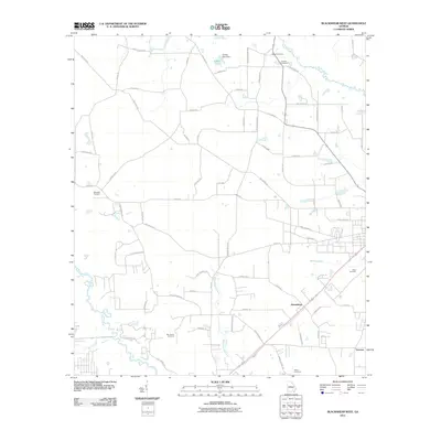
2011 Map of Blackshear West
USGS Topo · Published 2011About this map
The Alabaha River and Satilla River define the watery boundaries of this rural Georgia landscape, where agricultural land and timber tracts are divided by an extensive network of country roads. Small settlements and named junctions such as Homestead and Youman serve as the primary human centers, connected by thoroughfares like Hacklebarney Rd and Old Alma Rd. The distribution of family and community burial grounds, including the Sweat Cemetery, Nunn Cemetery, and Rehobeth Cemetery, reveals a deep-rooted pattern of local lineage and settlement history.
Find a feature on this map
75 named features on this map. Tap any name to fly to it.
Don’t see what you’re looking for? This feature index may not catch every label — zoom into the map to look around manually.
Map Details
Editions of this 2011 Blackshear West Map
This is the sole edition of this map. No revisions or reprints were ever made.
Other maps of this area

1953 · Waycross
USGS Topo · 1:250,000

1958 · Waycross
USGS Topo · 1:250,000

1967 · Hoboken West
USGS Topo · 1:24,000

1967 · Waycross West
USGS Topo · 1:24,000

1967 · Waycross East
USGS Topo · 1:24,000

1971 · Dixie Union
USGS Topo · 1:24,000

1971 · Blackshear East
USGS Topo · 1:24,000

1971 · Patterson
USGS Topo · 1:24,000

1971 · Blackshear West
USGS Topo · 1:24,000

1971 · Mershon
USGS Topo · 1:24,000