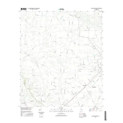
2017 Map of Blackshear West
USGS Topo · Published 2017About this map
The winding Satilla River defines the southwestern corner of this Pierce County landscape, meeting the waters of Kettle Cr near the settlement of Deenwood. Further north, the Alabaha River and its tributary Baxter Br cut through a terrain marked by small cemeteries and rural junctions. This area shows a pattern of long-established family and community sites, such as Ben James Church and the adjacent Ben James Cem, situated along Ben James Church Rd. Toward the southeast, the residential and commercial outskirts of Blackshear and Homestead appear, revealing the local road network that connects these communities. The presence of numerous burial grounds, including Rehobeth Cem, Nunn Cem, and Sweat Cem, offers significant detail for genealogists tracing historical residency patterns near Jordan Lake.
Find a feature on this map
133 named features on this map. Tap any name to fly to it.
Don’t see what you’re looking for? This feature index may not catch every label — zoom into the map to look around manually.
Map Details
Editions of this 2017 Blackshear West Map
This is the sole edition of this map. No revisions or reprints were ever made.
Other maps of this area

1953 · Waycross
USGS Topo · 1:250,000

1958 · Waycross
USGS Topo · 1:250,000

1967 · Hoboken West
USGS Topo · 1:24,000

1967 · Waycross West
USGS Topo · 1:24,000

1967 · Waycross East
USGS Topo · 1:24,000

1971 · Dixie Union
USGS Topo · 1:24,000

1971 · Blackshear East
USGS Topo · 1:24,000

1971 · Patterson
USGS Topo · 1:24,000

1971 · Blackshear West
USGS Topo · 1:24,000

1971 · Mershon
USGS Topo · 1:24,000