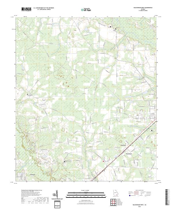
2024 Map of Blackshear West
USGS Topo · Published 2024About this map
Blackshear serves as the focal point of this modern topographic survey, positioned near the junction of agricultural lands and the riverine corridors of southeastern Georgia. The landscape is defined by the winding course of the Satilla River to the southwest and the Alabaha River in the northeast, which create a naturally bounded territory of wetlands and timber. The map reveal a deep-seated community history through its numerous rural burial grounds and places of worship, including Rehobeth Baptist Church Cem and Youmans Chapel. The settlement patterns around Homestead and Deenwood show a network of rural routes like Peacock Dairy Rd and Big House Rd that connect isolated farmsteads to the municipal center. Smaller waterways such as Hacklebarney Creek and Kettle Creek drain the low-lying terrain, illustrating the hydrological challenges and opportunities of this coastal plain region.
Find a feature on this map
145 named features on this map. Tap any name to fly to it.
Don’t see what you’re looking for? This feature index may not catch every label — zoom into the map to look around manually.
Map Details
Editions of this 2024 Blackshear West Map
This is the sole edition of this map. No revisions or reprints were ever made.
Other maps of this area

1953 · Waycross
USGS Topo · 1:250,000

1958 · Waycross
USGS Topo · 1:250,000

1967 · Hoboken West
USGS Topo · 1:24,000

1967 · Waycross West
USGS Topo · 1:24,000

1967 · Waycross East
USGS Topo · 1:24,000

1971 · Dixie Union
USGS Topo · 1:24,000

1971 · Blackshear East
USGS Topo · 1:24,000

1971 · Patterson
USGS Topo · 1:24,000

1971 · Blackshear West
USGS Topo · 1:24,000

1971 · Mershon
USGS Topo · 1:24,000