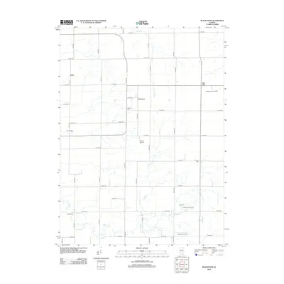
2012 Map of Blackstone
USGS Topo · Published 2012About this map
Blackstone and Missal anchor this portion of Livingston County, Illinois, where the landscape is defined by a grid of rural roads and the winding paths of Otter Cr and Mud Cr. The agricultural character of the region is evident in the scatter of private airfields, including Testoni Farms Airport, the Antique Aerodrome, and the Applegate Landing Strip. A notable geological feature, Smiths Mound, rises amidst the fields south of the primary settlement.
Find a feature on this map
44 named features on this map. Tap any name to fly to it.
Don’t see what you’re looking for? This feature index may not catch every label — zoom into the map to look around manually.
Map Details
Editions of this 2012 Blackstone Map
This is the sole edition of this map. No revisions or reprints were ever made.
Other maps of this area

1925 · Streator
USGS Topo · 1:62,500

1927 · Streator
USGS Topo · 1:62,500

1935 · Pontiac
USGS Topo · 1:62,500

1939 · Pontiac
USGS Topo · 1:62,500

1958 · Flanagan
USGS Topo · 1:62,500

1958 · Odell
USGS Topo · 1:62,500

1958 · Aurora
USGS Topo · 1:250,000

1958 · Peoria
USGS Topo · 1:250,000

1961 · Aurora
USGS Topo · 1:250,000

1961 · Peoria
USGS Topo · 1:250,000