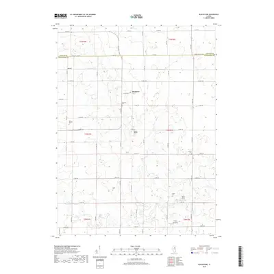
2018 Map of Blackstone
USGS Topo · Published 2018About this map
The agricultural grid of the Illinois prairie defines this landscape on the border of LaSalle and Livingston counties. The small settlement of Blackstone serves as a central point, situated near its namesake Blackstone Cem. To the northwest, the community of Missal anchors another corner of this fertile farming region. The terrain is relatively uniform, though the courses of Otter Cr and Mud Cr provide natural drainage patterns that deviate from the strict township and range lines.
Find a feature on this map
50 named features on this map. Tap any name to fly to it.
Don’t see what you’re looking for? This feature index may not catch every label — zoom into the map to look around manually.
Map Details
Editions of this 2018 Blackstone Map
This is the sole edition of this map. No revisions or reprints were ever made.
Other maps of this area
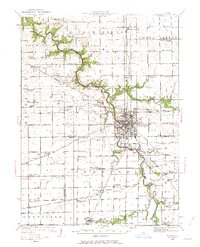
1925 · Streator
USGS Topo · 1:62,500
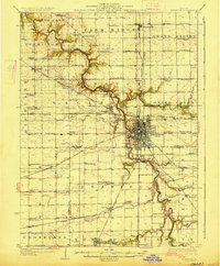
1927 · Streator
USGS Topo · 1:62,500
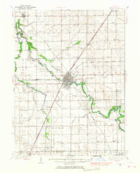
1935 · Pontiac
USGS Topo · 1:62,500
1939 · Pontiac
USGS Topo · 1:62,500
1958 · Flanagan
USGS Topo · 1:62,500
1958 · Odell
USGS Topo · 1:62,500

1958 · Aurora
USGS Topo · 1:250,000

1958 · Peoria
USGS Topo · 1:250,000
1961 · Aurora
USGS Topo · 1:250,000

1961 · Peoria
USGS Topo · 1:250,000