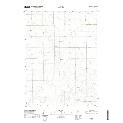
2021 Map of Blackstone
USGS Topo · Published 2021About this map
Blackstone and the nearby settlement of Missal anchor this portion of the Illinois prairie, situated along the county line where LaSalle and Livingston counties meet. The landscape is defined by an orderly grid of rural roads, including County Highway 17 and North 12th Road, which traverse a terrain largely shaped by agriculture. Waterways like Mud Creek and Otter Creek wind through the fields, providing natural drainage for the surrounding farmland.
Find a feature on this map
44 named features on this map. Tap any name to fly to it.
Don’t see what you’re looking for? This feature index may not catch every label — zoom into the map to look around manually.
Map Details
Editions of this 2021 Blackstone Map
This is the sole edition of this map. No revisions or reprints were ever made.
Other maps of this area
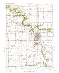
1925 · Streator
USGS Topo · 1:62,500
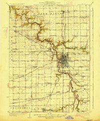
1927 · Streator
USGS Topo · 1:62,500
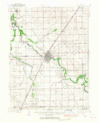
1935 · Pontiac
USGS Topo · 1:62,500
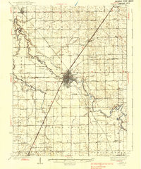
1939 · Pontiac
USGS Topo · 1:62,500
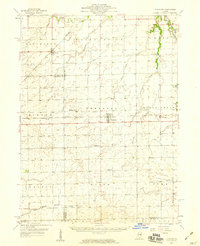
1958 · Flanagan
USGS Topo · 1:62,500
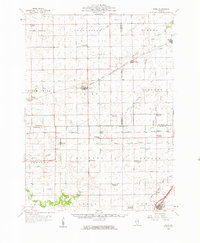
1958 · Odell
USGS Topo · 1:62,500

1958 · Aurora
USGS Topo · 1:250,000

1958 · Peoria
USGS Topo · 1:250,000
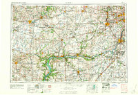
1961 · Aurora
USGS Topo · 1:250,000

1961 · Peoria
USGS Topo · 1:250,000