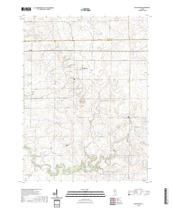
2024 Map of Blackstone
USGS Topo · Published 2024About this map
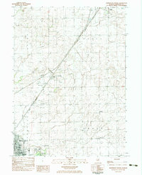
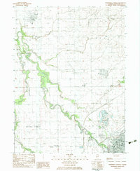
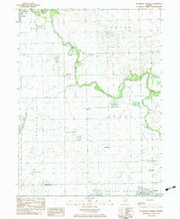
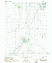
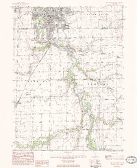
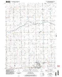
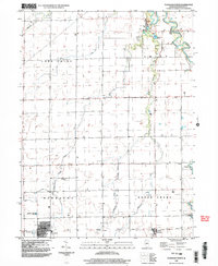
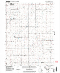
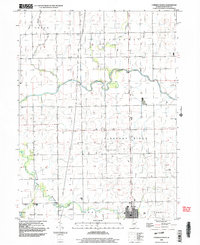
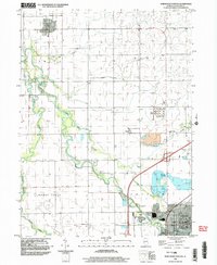
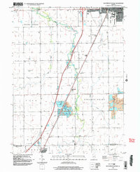
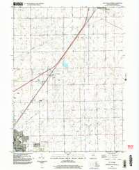
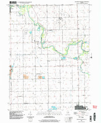
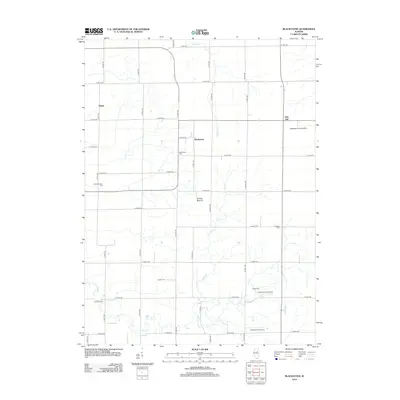
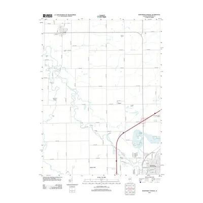
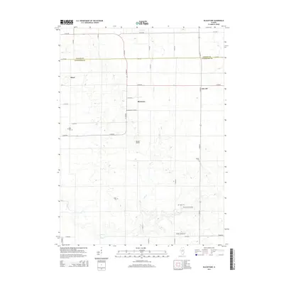
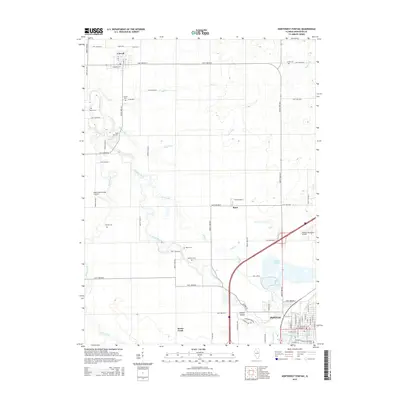
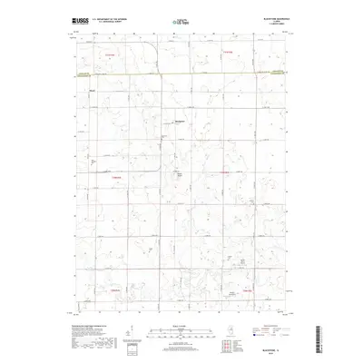
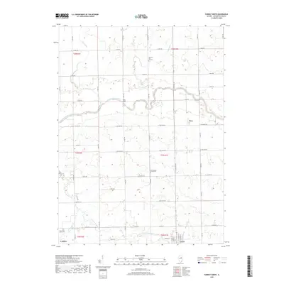
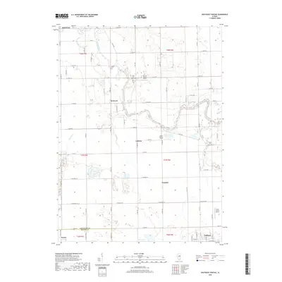
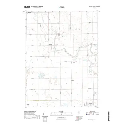
Blackstone and Missal anchor this portion of the Illinois prairie, situated along the border of LaSalle and Livingston counties. The landscape is defined by its agricultural grid, intersected by the winding paths of Otter Creek and Mud Creek. A notable topographical variation appears at Smiths Mound, providing a rare break in the local elevation.
Find a feature on this map
29 named features on this map. Tap any name to fly to it.
Don’t see what you’re looking for? This feature index may not catch every label — zoom into the map to look around manually.
Map Details
Editions of this 2024 Blackstone Map
This is the sole edition of this map. No revisions or reprints were ever made.
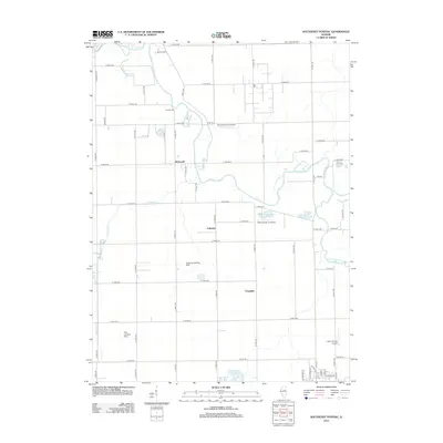
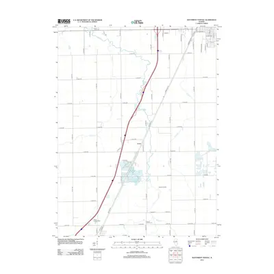
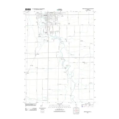
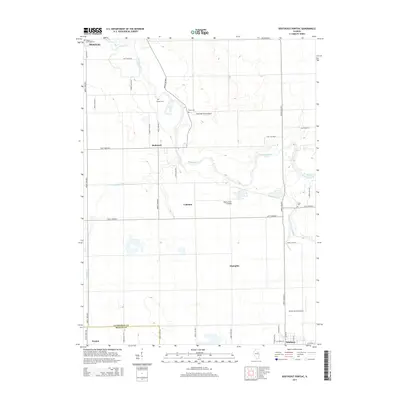
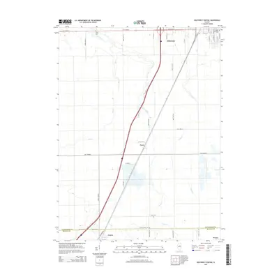
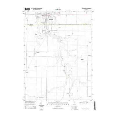
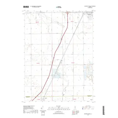
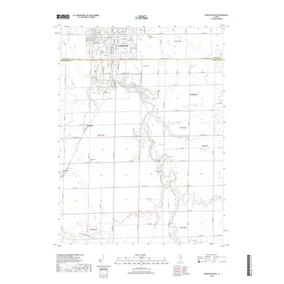
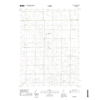
Historical Maps of Amity Township Through Time
80 maps found
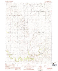
1983 Blackstone
Livingston County, IL
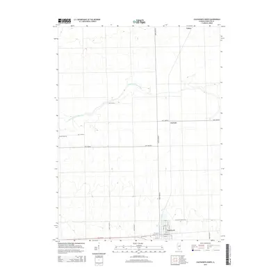
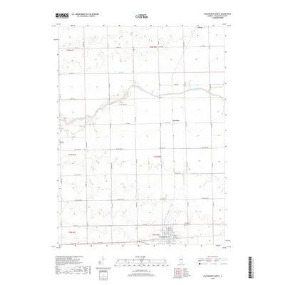
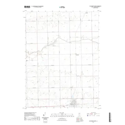
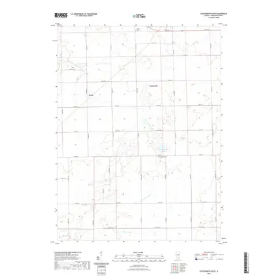
1983 Chatsworth North
Livingston County, IL

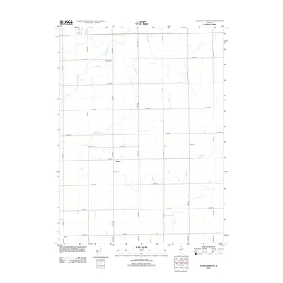
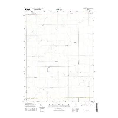
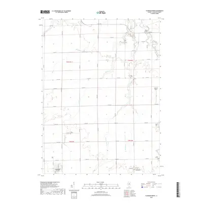
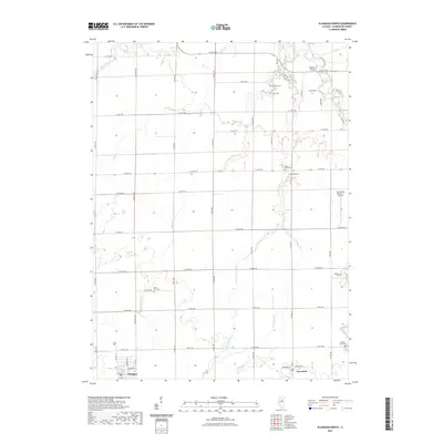
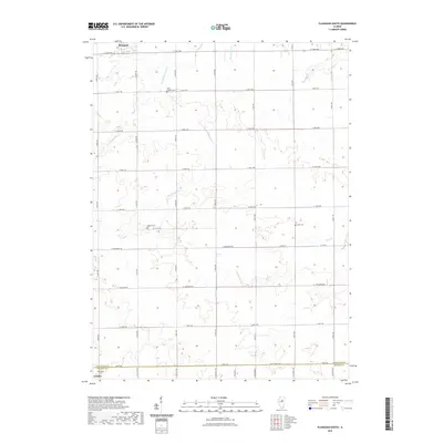
1983 Flanagan North
Livingston County, IL
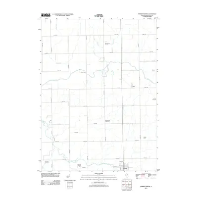
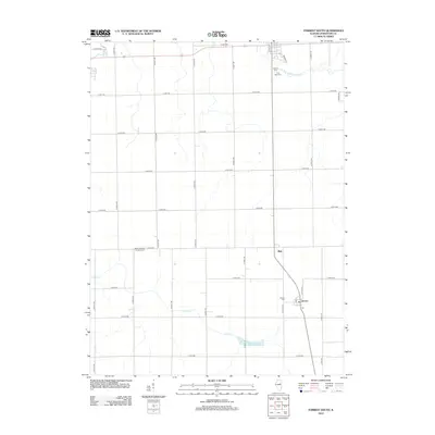
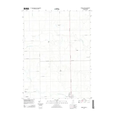
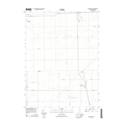
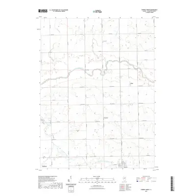
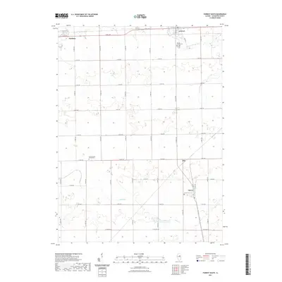
1983 Forrest North
Livingston County, IL
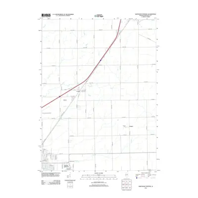
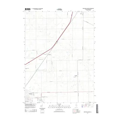
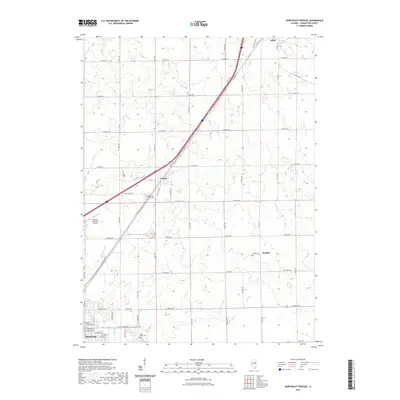
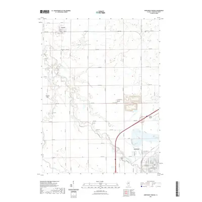
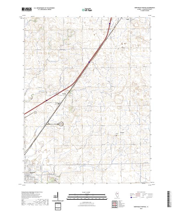
1983 Northeast Pontiac
Livingston County, IL
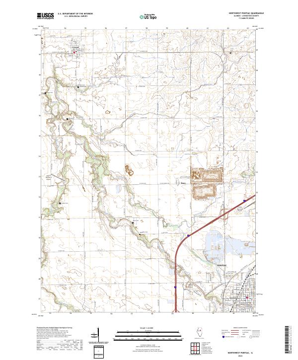
1983 Northwest Pontiac
Livingston County, IL
1983 Southeast Pontiac
Livingston County, IL
1983 Southwest Pontiac
Livingston County, IL
1983 Streator South
Livingston County, IL
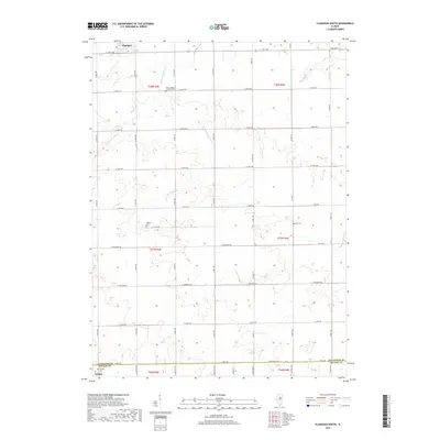
1984 Flanagan South
Livingston County, IL
1986 Chatsworth South
Livingston County, IL
1986 Forrest South
Livingston County, IL
1998 Chatsworth North
Livingston County, IL
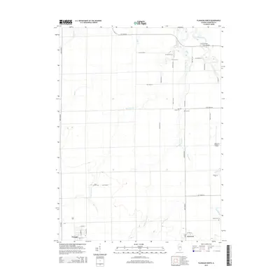
1998 Flanagan North
Livingston County, IL
1998 Flanagan South
Livingston County, IL
1998 Forrest North
Livingston County, IL
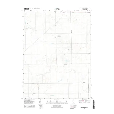
1998 Northwest Pontiac
Livingston County, IL
1998 Southwest Pontiac
Livingston County, IL
2001 Northeast Pontiac
Livingston County, IL
2001 Southeast Pontiac
Livingston County, IL
2012 Blackstone
Livingston County, IL
2012 Chatsworth North
Livingston County, IL
2012 Chatsworth South
Livingston County, IL
2012 Flanagan North
Livingston County, IL
2012 Flanagan South
Livingston County, IL
2012 Forrest North
Livingston County, IL
2012 Forrest South
Livingston County, IL
2012 Northeast Pontiac
Livingston County, IL
2012 Northwest Pontiac
Livingston County, IL
2012 Southeast Pontiac
Livingston County, IL
2012 Southwest Pontiac
Livingston County, IL
2012 Streator South
Livingston County, IL
2015 Blackstone
Livingston County, IL
2015 Chatsworth North
Livingston County, IL
2015 Chatsworth South
Livingston County, IL
2015 Flanagan North
Livingston County, IL
2015 Flanagan South
Livingston County, IL
2015 Forrest North
Livingston County, IL
2015 Forrest South
Livingston County, IL
2015 Northeast Pontiac
Livingston County, IL
2015 Northwest Pontiac
Livingston County, IL
2015 Southeast Pontiac
Livingston County, IL
2015 Southwest Pontiac
Livingston County, IL
2015 Streator South
Livingston County, IL
2018 Blackstone
Livingston County, IL
2018 Chatsworth North
Livingston County, IL

2018 Chatsworth South
Livingston County, IL
2018 Flanagan North
Livingston County, IL
2018 Flanagan South
Livingston County, IL
2018 Forrest North
Livingston County, IL
2018 Forrest South
Livingston County, IL
2018 Northeast Pontiac
Livingston County, IL
2018 Northwest Pontiac
Livingston County, IL
2018 Southeast Pontiac
Livingston County, IL
2018 Southwest Pontiac
Livingston County, IL
2018 Streator South
Livingston County, IL
2021 Blackstone
Livingston County, IL
2021 Chatsworth North
Livingston County, IL
2021 Chatsworth South
Livingston County, IL
2021 Flanagan North
Livingston County, IL
2021 Flanagan South
Livingston County, IL
2021 Forrest North
Livingston County, IL
2021 Forrest South
Livingston County, IL
2021 Northeast Pontiac
Livingston County, IL
2021 Northwest Pontiac
Livingston County, IL
2021 Southeast Pontiac
Livingston County, IL
2021 Southwest Pontiac
Livingston County, IL
2021 Streator South
Livingston County, IL
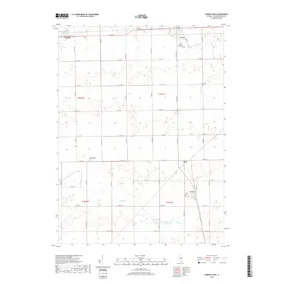
2024 Blackstone
Livingston County, IL
2024 Chatsworth North
Livingston County, IL
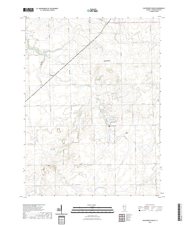
2024 Chatsworth South
Livingston County, IL
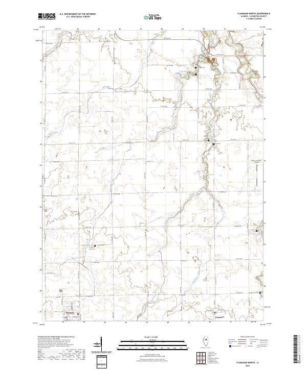
2024 Flanagan North
Livingston County, IL

2024 Flanagan South
Livingston County, IL
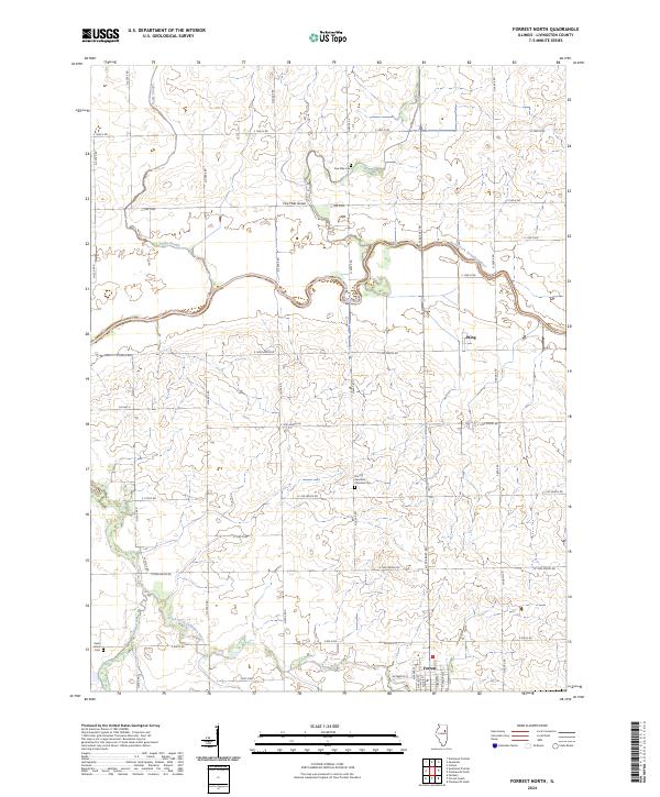
2024 Forrest North
Livingston County, IL
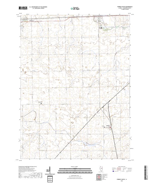
2024 Forrest South
Livingston County, IL
2024 Northeast Pontiac
Livingston County, IL
2024 Northwest Pontiac
Livingston County, IL

2024 Southeast Pontiac
Livingston County, IL
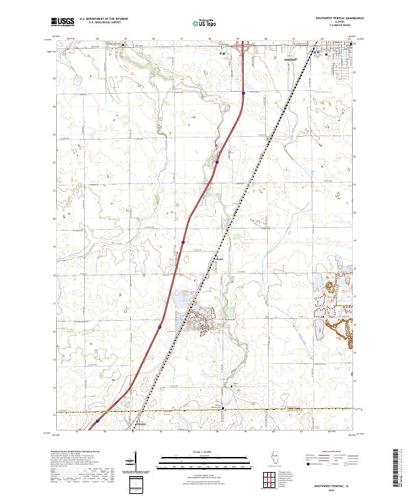
2024 Southwest Pontiac
Livingston County, IL
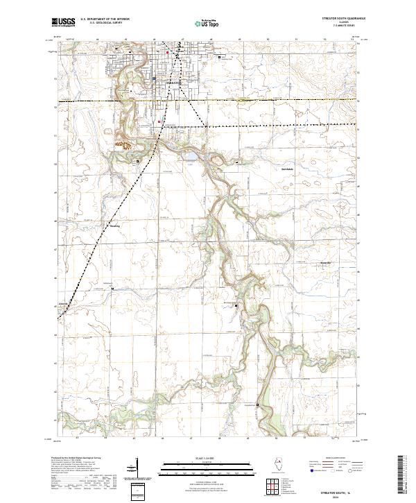
2024 Streator South
Livingston County, IL