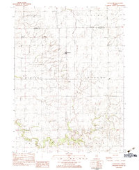
1983 Map of Blackstone
USGS Topo · Published 1983About this map
Blackstone and Missal serve as the primary focal points of this Illinois landscape, situated along the Conrail rail line that crosses the northern plains. The map reveals a deeply established rural community defined by its civil townships, including Allen, Newtown, Sunbury, Amity, and Esmen. The terrain is shaped by the winding courses of Otter Creek and Mud Creek, with Smiths Mound standing out as a distinctive topographic landmark amidst the agricultural fields.
Find a feature on this map
24 named features on this map. Tap any name to fly to it.
Don’t see what you’re looking for? This feature index may not catch every label — zoom into the map to look around manually.
Map Details
Editions of this 1983 Blackstone Map
This is the sole edition of this map. No revisions or reprints were ever made.
Other maps of this area

1925 · Streator
USGS Topo · 1:62,500

1927 · Streator
USGS Topo · 1:62,500

1935 · Pontiac
USGS Topo · 1:62,500

1939 · Pontiac
USGS Topo · 1:62,500

1958 · Flanagan
USGS Topo · 1:62,500

1958 · Odell
USGS Topo · 1:62,500

1958 · Aurora
USGS Topo · 1:250,000

1958 · Peoria
USGS Topo · 1:250,000

1961 · Aurora
USGS Topo · 1:250,000

1961 · Peoria
USGS Topo · 1:250,000