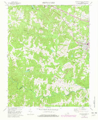
1968 Map of Blackstone West
USGS Topo · Published 1982About this map
Blackstone sits at the eastern edge of this landscape, where the Norfolk and Western railroad cuts through the terrain near Lakeview Cemetery. The surrounding countryside is defined by the winding course of the Nottoway River and its many tributaries, including Little Nottoway River and Whetstone Creek. This period of the late 1960s shows a mix of established community institutions and modern additions, from Mt Nebo Ch and Foster High Sch to a Drive-in Theater and the Radio Tower (WKLV) transmitting station. A significant portion of the southeast is occupied by the Fort Pickett Military Reservation, marking a clear boundary between civilian farmsteads and military land. Local genealogists will find value in the specific placement of rural landmarks like Mt Gazerine Ch and the New Prospect Ch Cem located near the headwaters of the Nottoway River.
Find a feature on this map
29 named features on this map. Tap any name to fly to it.
Don’t see what you’re looking for? This feature index may not catch every label — zoom into the map to look around manually.
Map Details
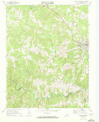
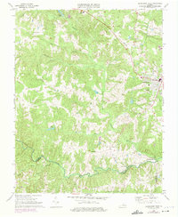
Editions of this 1968 Blackstone West Map
Other maps of this area

1891 · Farmville
USGS Topo · 1:125,000

1893 · Farmville
USGS Topo · 1:125,000

1897 · Amelia
USGS Topo · 1:125,000

1918 · Lawrenceville
USGS Topo · 1:62,500

1920 · Lawrenceville
USGS Topo · 1:48,000

1921 · Lawrenceville
USGS Topo · 1:62,500

1942 · Lawrenceville
USGS Topo · 1:62,500

1943 · Richmond
USGS Topo · 1:250,000

1947 · Roanoke
USGS Topo · 1:250,000

1949 · Richmond
USGS Topo · 1:250,000