
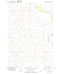
1979 Map of Blacktail Creek NW
USGS Topo · Published 1979About this map
The Powder River meanders along the western edge of this landscape, its wide floodplain set against the rising breaks of Custer and Carter counties. During the late 1970s, this area remained primarily open rangeland, marked by a network of drainage systems including Alkali Creek, Blacktail Creek, and Little Blacktail Creek. The presence of a Flowing Well and Spring Creek in the southwest suggests the vital importance of water management in this arid environment, while a solitary Drill Hole in the south-central section points to subsurface resource exploration.
Find a feature on this map
9 named features on this map. Tap any name to fly to it.
Don’t see what you’re looking for? This feature index may not catch every label — zoom into the map to look around manually.
Map Details
Editions of this 1979 Blacktail Creek NW Map
This is the sole edition of this map. No revisions or reprints were ever made.
Other maps of this area

1953 · Miles City
USGS Topo · 1:250,000

1954 · Ekalaka
USGS Topo · 1:250,000

1956 · Ekalaka
USGS Topo · 1:250,000

1957 · Miles City
USGS Topo · 1:250,000

1958 · Miles City
USGS Topo · 1:250,000

1958 · Ekalaka
USGS Topo · 1:250,000

1965 · Ekalaka
USGS Topo · 1:250,000

1969 · Tepee Butte
USGS Topo · 1:24,000

1979 · Blacktail Creek SE
USGS Topo · 1:24,000
1979 · Mills Creek East
USGS Topo · 1:24,000