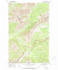
1968 Map of Blacktail
USGS Topo · Published 1972About this map
Glacier National Park and Flathead National Forest meet along the Continental Divide in this late-1960s survey of the Montana high country. The landscape is defined by the heavy infrastructure of the Burlington Northern railroad and the John F. Kennedy Memorial Highway, which follow the winding course of Bear Creek through the mountains.
Find a feature on this map
41 named features on this map. Tap any name to fly to it.
Don’t see what you’re looking for? This feature index may not catch every label — zoom into the map to look around manually.
Map Details
Editions of this 1968 Blacktail Map
2 editions found
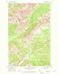
Other maps of this area

1913 · Marias Pass
USGS Topo · 1:125,000

1914 · Nyack
USGS Topo · 1:125,000

1958 · Red Plume Mountain
USGS Topo · 1:24,000

1958 · Nimrod
USGS Topo · 1:24,000

1958 · Mount Bradley
USGS Topo · 1:24,000

1960 · Cut Bank
USGS Topo · 1:250,000

1963 · Cut Bank
USGS Topo · 1:250,000

1964 · Cut Bank
USGS Topo · 1:250,000

1964 · Essex
USGS Topo · 1:24,000
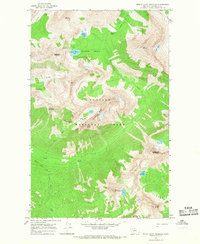
1964 · Mount Saint Nicholas
USGS Topo · 1:24,000