
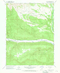
1962 Map of Blacktail Mtn
USGS Topo · Published 1963About this map
The Uintah and Ouray Indian Reservation covers much of this mid-century landscape, which is defined by significant elevation changes between high plateaus and river bottoms. The Duchesne River flows through the central valley, flanked by a prominent pipeline and a Gaging Station. To the north and south, the terrain rises sharply toward landmarks like Blacktail Mountain and Mcafee Ridge. The map documents a network of primitive jeep trails providing access to isolated drainage areas such as Wagstaff Hollow, Seep Hollow, and Dry Hollow. These features reflect a period of land use centered on utility infrastructure and seasonal access within the reservation boundaries. To the east, the descent into the Rock Creek valley is marked by distinctive formations such as The Nipple and Sadiers Flat.
Find a feature on this map
21 named features on this map. Tap any name to fly to it.
Don’t see what you’re looking for? This feature index may not catch every label — zoom into the map to look around manually.
Map Details
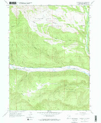
Editions of this 1962 Blacktail Mtn Map
3 editions found
Other maps of this area

1885 · Uinta
USGS Topo · 1:250,000

1939 · Duchesne
USGS Topo · 1:125,000

1954 · Salt Lake City
USGS Topo · 1:250,000

1958 · Salt Lake City
USGS Topo · 1:250,000

1960 · Salt Lake City
USGS Topo · 1:250,000

1962 · Strawberry Pinnacles
USGS Topo · 1:24,000

1962 · Tabiona
USGS Topo · 1:24,000

1962 · Rabbit Gulch
USGS Topo · 1:24,000

1962 · Dry Mountain
USGS Topo · 1:24,000
1962 · Farm Creek Peak
USGS Topo · 1:24,000