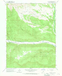
1962 Map of Blacktail Mtn
USGS Topo · Published 1970About this map
The Uintah and Ouray Indian Reservation dominates this 1962 landscape, characterized by the winding course of the Duchesne River and the high elevations of the Uinta Basin. At the northern boundary, Rock Creek flows through deep canyons near The Nipple, while the central valley is defined by the distinct elevations of McAfee Ridge and Blacktail Mountain. The map records a network of primitive Jeep Trails and unnamed Trails that connect the high mesas and deep drainages like Seep Hollow and Sand Wash. A Gaging Station along the river bank and a pipeline following the watercourse reflect the era's focus on water management and resource infrastructure. This geography reveals the relationship between the river's path and the ridgelines of Blacktail Ridge, providing a detailed look at the land's transition from waterway to high desert plateau.
Find a feature on this map
19 named features on this map. Tap any name to fly to it.
Don’t see what you’re looking for? This feature index may not catch every label — zoom into the map to look around manually.
Map Details
Editions of this 1962 Blacktail Mtn Map
3 editions found
Other maps of this area

1885 · Uinta
USGS Topo · 1:250,000

1939 · Duchesne
USGS Topo · 1:125,000

1954 · Salt Lake City
USGS Topo · 1:250,000

1958 · Salt Lake City
USGS Topo · 1:250,000

1960 · Salt Lake City
USGS Topo · 1:250,000

1962 · Strawberry Pinnacles
USGS Topo · 1:24,000

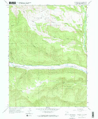
1962 · Blacktail Mtn
USGS Topo · 1:24,000

1962 · Tabiona
USGS Topo · 1:24,000

1962 · Rabbit Gulch
USGS Topo · 1:24,000

1962 · Dry Mountain
USGS Topo · 1:24,000