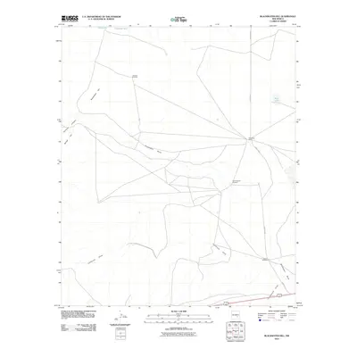
2010 Map of Blackwater Hill
USGS Topo · Published 2010About this map
Blackwater Hill and the adjacent Border Hill rise above a landscape defined by the drainage networks of the Chaves County plains. In this arid environment, the spatial arrangement of water sources like Little Lake, Mare Lake, and the Christine Tank reflects the essential infrastructure of New Mexico ranching. The presence of named operations such as Mennecke Ranch and the distribution of vital groundwater access points, including the Seventyseven Windmill and Bloom Windmill, illustrate the continued importance of livestock management in the region.
Find a feature on this map
14 named features on this map. Tap any name to fly to it.
Don’t see what you’re looking for? This feature index may not catch every label — zoom into the map to look around manually.
Map Details
Editions of this 2010 Blackwater Hill Map
This is the sole edition of this map. No revisions or reprints were ever made.
Other maps of this area

1949 · Hondo Reservoir
USGS Topo · 1:24,000

1949 · Corn Ranch
USGS Topo · 1:24,000

1950 · Corn Ranch
USGS Topo · 1:24,000

1955 · Roswell
USGS Topo · 1:250,000

1956 · Diamond A Ranch
USGS Topo · 1:24,000

1958 · Roswell
USGS Topo · 1:250,000

1959 · Diamond A Ranch
USGS Topo · 1:24,000

1962 · Roswell
USGS Topo · 1:250,000

1962 · Horseshoe Bend
USGS Topo · 1:62,500
1963 · Barn Draw
USGS Topo · 1:24,000