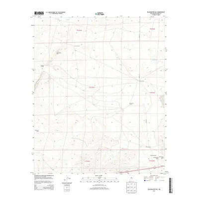
2013 Map of Blackwater Hill
USGS Topo · Published 2013About this map
Blackwater Hill rises as the central landmark in this portion of Chaves County, anchoring a landscape defined by ephemeral water sources and ranching infrastructure. The presence of several named water features, including Little Lake, Moss Lake, and Mennecke Lake, suggests a high-plains environment where surface water management is vital for survival. This is further evidenced by the strategic placement of the Christine Tank and various scattered windmills such as the Seventyseven Windmill and Bloom Windmill, which highlight the importance of groundwater for the Mennecke Ranch. The terrain is deeply grooved by several significant drainage paths, most notably Blackwater Draw, California Draw, and Thirteenmile Draw. These features, along with Tecolote Canyon, indicate a complex system of seasonal runoff patterns that have shaped the Chaves County topography over time.
Find a feature on this map
21 named features on this map. Tap any name to fly to it.
Don’t see what you’re looking for? This feature index may not catch every label — zoom into the map to look around manually.
Map Details
Editions of this 2013 Blackwater Hill Map
This is the sole edition of this map. No revisions or reprints were ever made.
Other maps of this area

1949 · Hondo Reservoir
USGS Topo · 1:24,000

1949 · Corn Ranch
USGS Topo · 1:24,000

1950 · Corn Ranch
USGS Topo · 1:24,000

1955 · Roswell
USGS Topo · 1:250,000

1956 · Diamond A Ranch
USGS Topo · 1:24,000

1958 · Roswell
USGS Topo · 1:250,000

1959 · Diamond A Ranch
USGS Topo · 1:24,000

1962 · Roswell
USGS Topo · 1:250,000

1962 · Horseshoe Bend
USGS Topo · 1:62,500
1963 · Barn Draw
USGS Topo · 1:24,000