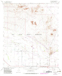
1966 Map of Blackwater
USGS Topo · Published 1983About this map
The Gila River Indian Reservation landscape is defined by the winding course of the Gila River and the engineered irrigation networks that sustain the surrounding desert. Within this terrain, the settlement of Blackwater sits near a complex system of water management including the North Side Canal, Pima Lateral, and Kenworthy Lateral. These features reflect the long-standing agricultural tradition of the Gila River valley, where water diversion has been central to local life for generations.
Find a feature on this map
28 named features on this map. Tap any name to fly to it.
Don’t see what you’re looking for? This feature index may not catch every label — zoom into the map to look around manually.
Map Details
Editions of this 1966 Blackwater Map
2 editions found
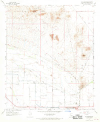
Other maps of this area

1900 · Florence
USGS Topo · 1:125,000

1902 · Florence
USGS Topo · 1:125,000

1907 · Sacaton
USGS Topo · 1:62,500

1922 · Red Rock No 2
USGS Topo · 1:48,000

1922 · Signal Peak
USGS Topo · 1:62,500

1924 · Signal Peak
USGS Topo · 1:62,500

1934 · Newman Peak
USGS Topo · 1:125,000

1954 · Mesa
USGS Topo · 1:250,000

1956 · Sacaton NE
USGS Topo · 1:24,000

1956 · Magma
USGS Topo · 1:24,000