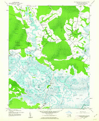
1942 Map of Blackwater River
USGS Topo · Published 1962About this map
Blackwater National Wildlife Refuge dominates this 1942 landscape, showcasing the intricate tidal network of Dorchester County. The environment is characterized by an expansive system of marshes and ponds, including Sunken Island Marsh and Harpers Pond, shaped by the Blackwater River and its many tributaries. Human activity is concentrated along the peripheries and waterways, marked by small settlements like Bucktown and the curiously named Between the Dams.
Find a feature on this map
57 named features on this map. Tap any name to fly to it.
Don’t see what you’re looking for? This feature index may not catch every label — zoom into the map to look around manually.
Map Details
Editions of this 1942 Blackwater River Map
2 editions found
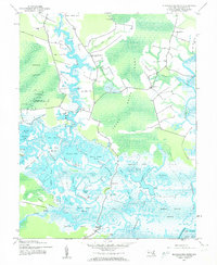
Other maps of this area

1898 · Choptank
USGS Topo · 1:125,000

1898 · St. Marys
USGS Topo · 1:125,000

1903 · Nanticoke
USGS Topo · 1:62,500

1904 · Oxford
USGS Topo · 1:62,500

1905 · Crapo
USGS Topo · 1:62,500

1905 · Hurlock
USGS Topo · 1:62,500

1906 · St. Marys
USGS Topo · 1:125,000

1908 · Choptank
USGS Topo · 1:125,000

1942 · Church Creek
USGS Topo · 1:24,000
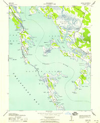
1942 · Honga
USGS Topo · 1:24,000