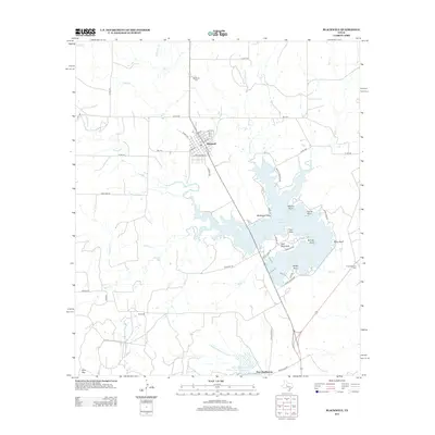
2012 Map of Blackwell
USGS Topo · Published 2012About this map
Blackwell serves as the primary hub of this West Texas landscape, its grid defined by streets like W Main St and Plano Ave. The town is situated just north of the extensive Oak Cr Reservoir, a significant water feature characterized by numerous named landforms including Gulf Peninsula, Pace Point, and the prominent Wiley Bluff. To the south, the map details the location of Fort Chadbourne, a site of significant regional importance.
Find a feature on this map
57 named features on this map. Tap any name to fly to it.
Don’t see what you’re looking for? This feature index may not catch every label — zoom into the map to look around manually.
Map Details
Editions of this 2012 Blackwell Map
This is the sole edition of this map. No revisions or reprints were ever made.
Other maps of this area

1891 · Hayrick
USGS Topo · 1:125,000

1893 · Sweetwater
USGS Topo · 1:125,000

1894 · Hayrick
USGS Topo · 1:125,000

1921 · Bronte
USGS Topo · 1:31,680

1954 · Big Spring
USGS Topo · 1:250,000

1954 · San Angelo
USGS Topo · 1:250,000

1958 · San Angelo
USGS Topo · 1:250,000

1958 · Big Spring
USGS Topo · 1:250,000
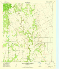
1961 · Hog Mountain
USGS Topo · 1:24,000
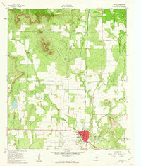
1961 · Bronte
USGS Topo · 1:24,000