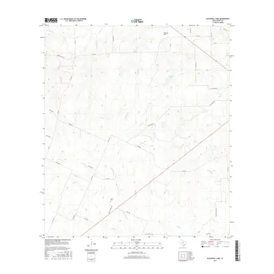
2016 Map of Blackwell Lake
USGS Topo · Published 2016About this map
Woods Cem sits in the southwestern reaches of this DeWitt County landscape, accessed by the appropriately named Woods Cemetery Rd. The terrain is defined by a dense network of drainage, where numerous creeks including Cottonwood Cr, Woods Cr, and Shiloh Cr carve through the undulating topography. In the north, Blackwell Lake serves as a central hydrological point near Mustang Mott. The infrastructure of the area is almost entirely rural and agricultural, consisting of farm-to-market roads and long-standing ranch access routes like Dubose Ranch Rd and Smith Ranch Rd. The survey reveals a landscape of dispersed holdings, where transportation patterns follow the natural rise and fall of the land between the watershed of Fivemile Cr and Anderson Cr.
Find a feature on this map
40 named features on this map. Tap any name to fly to it.
Don’t see what you’re looking for? This feature index may not catch every label — zoom into the map to look around manually.
Map Details
Editions of this 2016 Blackwell Lake Map
This is the sole edition of this map. No revisions or reprints were ever made.
Other maps of this area

1920 · Smiley
USGS Topo · 1:125,000

1953 · Beeville
USGS Topo · 1:250,000

1953 · Seguin
USGS Topo · 1:250,000

1956 · Beeville
USGS Topo · 1:250,000

1958 · Seguin
USGS Topo · 1:250,000

1960 · Beeville
USGS Topo · 1:250,000

1960 · Cuero
USGS Topo · 1:24,000

1960 · Concrete
USGS Topo · 1:24,000

1960 · Blackwell Lake
USGS Topo · 1:24,000

1960 · Westhoff
USGS Topo · 1:24,000