
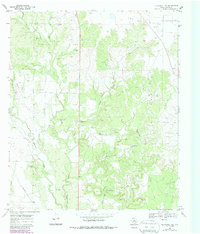
1969 Map of Blackwell NE
USGS Topo · Published 1972About this map
The high plateau of The Divide dominates this Nolan County landscape, marking the hydrological parting of the waters in West Texas. Below these heights, the land is etched by a series of drainages including Bear Creek, Oak Creek, and Pecan Creek. The arrival of the Atchison Topeka and Santa Fe railroad in the southwestern corner provided the primary connection to the outside world, bypassing the small settlement of Fuller to the east.
Find a feature on this map
21 named features on this map. Tap any name to fly to it.
Don’t see what you’re looking for? This feature index may not catch every label — zoom into the map to look around manually.
Map Details
Editions of this 1969 Blackwell NE Map
2 editions found
Other maps of this area

1893 · Sweetwater
USGS Topo · 1:125,000

1954 · Big Spring
USGS Topo · 1:250,000

1957 · Merkel
USGS Topo · 1:62,500

1958 · Big Spring
USGS Topo · 1:250,000

1967 · Hylton
USGS Topo · 1:24,000
1967 · Church Peak
USGS Topo · 1:24,000

1969 · Maryneal
USGS Topo · 1:24,000
1969 · Blackwell SW
USGS Topo · 1:24,000
1969 · Blackwell
USGS Topo · 1:24,000

1969 · Holder Creek
USGS Topo · 1:24,000