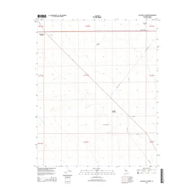
2015 Map of Blackwells Corner
USGS Topo · Published 2015About this map
Blackwells Corner serves as a primary reference point in this western Kern County landscape, situated where the Antelope Plain meets the edges of the San Joaquin Valley. The terrain is defined by the transition from the flat expanse of the Central Valley into the rising elevations of the Antelope Hills to the south. This 2015 survey illustrates a sparse but vital network of infrastructure, including North Belridge and a series of industrial and utility corridors.
Find a feature on this map
23 named features on this map. Tap any name to fly to it.
Don’t see what you’re looking for? This feature index may not catch every label — zoom into the map to look around manually.
Map Details
Editions of this 2015 Blackwells Corner Map
This is the sole edition of this map. No revisions or reprints were ever made.
Other maps of this area

1912 · McKittrick
USGS Topo · 1:125,000

1914 · Lost Hills
USGS Topo · 1:125,000

1932 · Antelope Plain
USGS Topo · 1:31,680

1932 · West of Goose Lake
USGS Topo · 1:31,680

1932 · Reynolds Ranch
USGS Topo · 1:31,680

1934 · West of Goose Lake
USGS Topo · 1:31,680
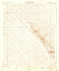
1936 · Antelope Plain
USGS Topo · 1:31,680
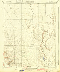
1940 · Reynolds Ranch
USGS Topo · 1:31,680
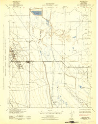
1942 · Hart Station
USGS Topo · 1:62,500

1943 · Simmler
USGS Topo · 1:62,500