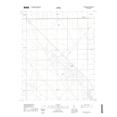
2018 Map of Blackwells Corner
USGS Topo · Published 2018About this map
The Antelope Plain and its transition into the Antelope Hills dominate this portion of the western San Joaquin Valley in Kern County. This area of the Central Valley is characterized by its heavy industrial footprint, specifically within the energy sector, where extensive networks of roads and infrastructure serve the petroleum fields. The settlement of North Belridge sits at the heart of this activity, surrounded by a complex grid of access routes and extraction sites. Major thoroughfares such as Blackwell Village Dr and Brown Material Rd provide the primary links across this landscape, connecting the industrial operations to the broader region. The map captures the intensive land use typical of California's oil-producing districts, illustrating how the natural topography has been adapted for resource development.
Find a feature on this map
16 named features on this map. Tap any name to fly to it.
Don’t see what you’re looking for? This feature index may not catch every label — zoom into the map to look around manually.
Map Details
Editions of this 2018 Blackwells Corner Map
This is the sole edition of this map. No revisions or reprints were ever made.
Other maps of this area

1912 · McKittrick
USGS Topo · 1:125,000

1914 · Lost Hills
USGS Topo · 1:125,000

1932 · Antelope Plain
USGS Topo · 1:31,680

1932 · West of Goose Lake
USGS Topo · 1:31,680

1932 · Reynolds Ranch
USGS Topo · 1:31,680

1934 · West of Goose Lake
USGS Topo · 1:31,680
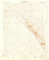
1936 · Antelope Plain
USGS Topo · 1:31,680
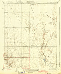
1940 · Reynolds Ranch
USGS Topo · 1:31,680
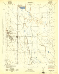
1942 · Hart Station
USGS Topo · 1:62,500

1943 · Simmler
USGS Topo · 1:62,500