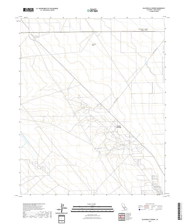
2021 Map of Blackwells Corner
USGS Topo · Published 2021About this map
The Antelope Plain of Kern County dominates this Western San Joaquin Valley landscape, characterized by the industrial and agricultural infrastructure typical of the region. The settlement of North Belridge serves as a focal point for the oil-rich geography found between the Lost Hills to the east and the Antelope Hills to the south. The mapping reveals a sparse but deliberate network of local routes like Blackwell Village Dr and Brown Material Rd, which support the intensive land use of the San Joaquin Central Valley. Occasional drainage features like Media Agua Cr break the geometric precision of the township and range lines, indicating the arid natural hydrology that exists alongside modern irrigation and energy extraction efforts.
Find a feature on this map
17 named features on this map. Tap any name to fly to it.
Don’t see what you’re looking for? This feature index may not catch every label — zoom into the map to look around manually.
Map Details
Editions of this 2021 Blackwells Corner Map
This is the sole edition of this map. No revisions or reprints were ever made.
Other maps of this area

1912 · McKittrick
USGS Topo · 1:125,000

1914 · Lost Hills
USGS Topo · 1:125,000

1932 · Antelope Plain
USGS Topo · 1:31,680

1932 · West of Goose Lake
USGS Topo · 1:31,680

1932 · Reynolds Ranch
USGS Topo · 1:31,680

1934 · West of Goose Lake
USGS Topo · 1:31,680
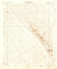
1936 · Antelope Plain
USGS Topo · 1:31,680
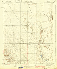
1940 · Reynolds Ranch
USGS Topo · 1:31,680
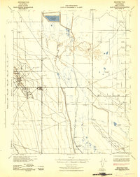
1942 · Hart Station
USGS Topo · 1:62,500

1943 · Simmler
USGS Topo · 1:62,500