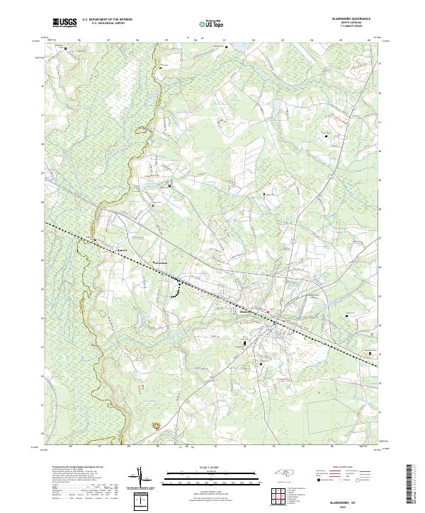
2022 Map of Bladenboro
USGS Topo · Published 2022About this map
The town of Bladenboro stands as a significant rail-linked hub in the lowlands of southeastern North Carolina, situated along the Seaboard Coast Line railroad. This modern record reveals a landscape defined by an intricate network of wetlands and man-made drainage, where the Big Swamp Canal and Bryant Swamp Canal cut through expansive bays and swampy terrain. Small communities like Butters and Richardson dot the highway corridor, reflecting the area’s persistent rural character and its history of land management through irrigation and milling.
Find a feature on this map
139 named features on this map. Tap any name to fly to it.
Don’t see what you’re looking for? This feature index may not catch every label — zoom into the map to look around manually.
Map Details
Editions of this 2022 Bladenboro Map
This is the sole edition of this map. No revisions or reprints were ever made.
Other maps of this area

1953 · Chadbourn
USGS Topo · 1:62,500

1953 · Florence
USGS Topo · 1:250,000

1954 · Florence
USGS Topo · 1:250,000

1955 · Whiteville
USGS Topo · 1:62,500

1955 · Elizabethtown
USGS Topo · 1:62,500

1957 · Bladenboro
USGS Topo · 1:62,500

1982 · Elizabethtown
USGS Topo · 1:100,000

1986 · Whiteville
USGS Topo · 1:100,000

1986 · Tar Heel
USGS Topo · 1:24,000
1986 · Evergreen
USGS Topo · 1:24,000