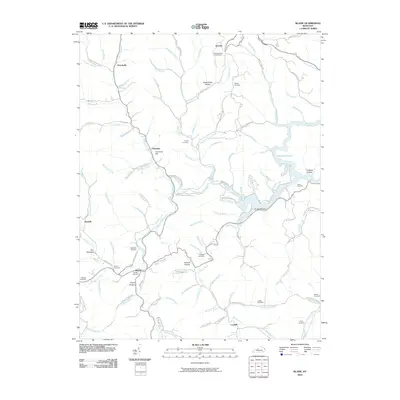
2010 Map of Blaine
USGS Topo · Published 2010About this map
Blaine and the surrounding rural communities of Lawrence County sit at the heart of an intricate network of waterways like Blaine Creek and the southern reaches of Yatesville Lake. The landscape is defined by its deep hollows and high points, most notably Cherokee Hill and the Clevinger Knob Lookout Tower near Overda. This 2010 survey reflects a region where family lineage and local history are etched into the terrain through numerous small burial grounds, including the Griffith Cemetery at Blaine and the Adams Cemetery near Dead Horse Hollow. The road network follows the natural contours of the land, with routes like Arrington Branch Rd and Irish Creek Rd connecting isolated settlements such as Houckville and Cordell. The presence of landmarks like The Narrows and Orchard Hollow indicates a geography that has dictated the pattern of local travel and agriculture for generations.
Find a feature on this map
104 named features on this map. Tap any name to fly to it.
Don’t see what you’re looking for? This feature index may not catch every label — zoom into the map to look around manually.
Map Details
Editions of this 2010 Blaine Map
This is the sole edition of this map. No revisions or reprints were ever made.
Other maps of this area

1886 · Prestonsburg
USGS Topo · 1:125,000

1892 · Prestonsburg
USGS Topo · 1:125,000

1903 · Kenova
USGS Topo · 1:125,000

1904 · Kenova
USGS Topo · 1:125,000

1911 · Louisa
USGS Topo · 1:48,000

1913 · Louisa
USGS Topo · 1:62,500

1914 · Inez
USGS Topo · 1:48,000

1915 · Paintsville
USGS Topo · 1:48,000

1916 · Inez
USGS Topo · 1:62,500

1917 · Paintsville
USGS Topo · 1:62,500