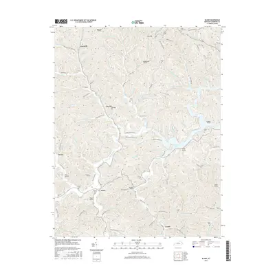
2016 Map of Blaine
USGS Topo · Published 2016About this map
Blaine stands as a central settlement in this eastern Kentucky landscape, where the waters of Blaine Creek and Hood Cr converge. The topography is defined by a dense network of hollows and ridges, including the prominent Cherokee Hill and the constricted passage known as The Narrows. This modern survey documents the intricate drainage system of Lawrence County, from the winding path of Brushy Cr to the expansive Yatesville Lake in the east.
Find a feature on this map
125 named features on this map. Tap any name to fly to it.
Don’t see what you’re looking for? This feature index may not catch every label — zoom into the map to look around manually.
Map Details
Editions of this 2016 Blaine Map
This is the sole edition of this map. No revisions or reprints were ever made.
Other maps of this area

1886 · Prestonsburg
USGS Topo · 1:125,000

1892 · Prestonsburg
USGS Topo · 1:125,000

1903 · Kenova
USGS Topo · 1:125,000

1904 · Kenova
USGS Topo · 1:125,000

1911 · Louisa
USGS Topo · 1:48,000

1913 · Louisa
USGS Topo · 1:62,500

1914 · Inez
USGS Topo · 1:48,000

1915 · Paintsville
USGS Topo · 1:48,000

1916 · Inez
USGS Topo · 1:62,500

1917 · Paintsville
USGS Topo · 1:62,500