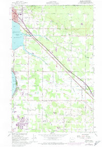
1952 Map of Blaine
USGS Topo · Published 1974About this map
Blaine sits as a vital port of entry on the international border with Canada, where the Customs Bldg and an Airway Beacon mark the edge of the Pacific Northwest. This 1952 survey, updated with 1972 revisions, reveals a landscape defined by the tidal flats of Drayton Harbor and Birch Bay, as well as the industrial footprint of a large Oil Refinery to the south. The transition from coastal marshland to upland farming is evident through the network of drainage across Dakota Creek and California Creek. Small rural centers like Haynie, Custer, and Pleasant Valley provide clear evidence of the region's agricultural history, supported by community landmarks such as the Haynie Community Hall and several family-named cemeteries. Military presence is also noted at the Blaine Air Force Station, situated just inland from the coast.
Find a feature on this map
45 named features on this map. Tap any name to fly to it.
Don’t see what you’re looking for? This feature index may not catch every label — zoom into the map to look around manually.
Map Details
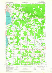
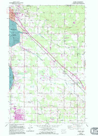
Editions of this 1952 Blaine Map
4 editions found
Other maps of this area

1907 · Blaine
USGS Topo · 1:62,500

1952 · Bertrand Creek
USGS Topo · 1:24,000

1952 · Birch Point
USGS Topo · 1:24,000

1952 · Ferndale
USGS Topo · 1:24,000

1952 · Lummi Bay
USGS Topo · 1:24,000

1952 · Blaine
USGS Topo · 1:24,000

1952 · Blaine
USGS Topo · 1:62,500

1957 · Victoria
USGS Topo · 1:250,000

1975 · Bellingham
USGS Topo · 1:100,000
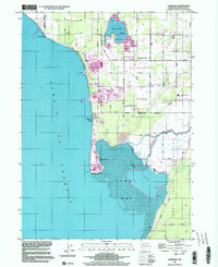
1997 · Lummi Bay
USGS Topo · 1:24,000