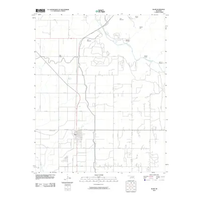
2010 Map of Blair
USGS Topo · Published 2010About this map
The town of Blair serves as the central hub of this Jackson County landscape, where the flat agricultural plains of Southwest Oklahoma meet a cluster of striking topographic rises. To the northeast, the terrain breaks sharply with a series of named peaks including King Mountain, Mount Lugert, and Stewart Mountain. These elevations create distinct natural landmarks like Cement Gap and the carved terrain of Devils Canyon and Wisdom Canyon.
Find a feature on this map
34 named features on this map. Tap any name to fly to it.
Don’t see what you’re looking for? This feature index may not catch every label — zoom into the map to look around manually.
Map Details
Editions of this 2010 Blair Map
This is the sole edition of this map. No revisions or reprints were ever made.
Other maps of this area

1955 · Lawton
USGS Topo · 1:250,000

1964 · Martha
USGS Topo · 1:24,000

1964 · Altus
USGS Topo · 1:24,000

1964 · Lone Wolf
USGS Topo · 1:24,000

1964 · Warren
USGS Topo · 1:24,000

1964 · Headrick
USGS Topo · 1:24,000

1971 · Blair
USGS Topo · 1:24,000

1971 · Granite
USGS Topo · 1:24,000

1971 · Hester
USGS Topo · 1:24,000

1971 · Lake Altus
USGS Topo · 1:24,000