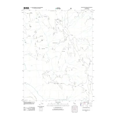
2012 Map of Blake Mountain
USGS Topo · Published 2012About this map
Blake Mountain stands as a central topographic feature in this part of Humboldt County, where a network of ridgelines and forest service roads defines the remote landscape. The presence of Becker Cabin and the Becker Racetrack suggest a history of high-country activity, likely related to ranching or resource management, while the Eightmile Lookout on Eightmile Ridge overlooks the deep drainage of the Mad River. This terrain is characterized by numerous seasonal and year-round springs, such as Happy Jack Spring, Pistol Spring, and Maple Spring, which serve as vital water sources for the area's ecology and travelers. Significant clearings or "openings" in the forest canopy, such as Severin Openings and Saddleback Opening, break the timbered expanses, providing distinctive landmarks for navigation across the Torrey Ridge and Al Hazen Ridge systems. The map also traces the winding course of Pilot Cr and its many tributaries, illustrating the complex hydrology that feeds the larger river system to the south.
Find a feature on this map
49 named features on this map. Tap any name to fly to it.
Don’t see what you’re looking for? This feature index may not catch every label — zoom into the map to look around manually.
Map Details
Editions of this 2012 Blake Mountain Map
This is the sole edition of this map. No revisions or reprints were ever made.
Other maps of this area

1909 · Big Bar
USGS Topo · 1:96,000

1914 · Pilot Creek
USGS Topo · 1:62,500

1915 · Big Bar and Vicinity
USGS Topo · 1:250,000

1918 · Anada
USGS Topo · 1:62,500

1931 · Hoaglin
USGS Topo · 1:96,000

1935 · Hoaglin
USGS Topo · 1:125,000

1949 · Blocksburg
USGS Topo · 1:62,500

1951 · Blocksburg
USGS Topo · 1:62,500

1951 · Pilot Creek
USGS Topo · 1:62,500

1951 · Hyampom
USGS Topo · 1:62,500