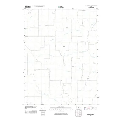
2010 Map of Blakesburg NE
USGS Topo · Published 2010About this map
Antique Airfield serves as a distinct landmark in this rural landscape of Wapello County, Iowa. The map reveals an area defined by its deep genealogical roots, marked by nearly a dozen family and community burial grounds including Towler Cemetery, Mount Zion Cemetery, and Kingsley Cemetery. The terrain is drained by a network of waterways such as Little Soap Creek, Village Creek, and Brush Creek, which follow the natural contours of the land between sections. A grid of county roads, including Bluegrass Rd and Copperhead Rd, connects the scattered farmsteads and rural properties. This survey captures the steady agricultural character of the region, where the placement of cemeteries like Jay Cemetery and Denton Cemetery provides a clear record of the area's early settlement patterns and family heritage.
Find a feature on this map
32 named features on this map. Tap any name to fly to it.
Don’t see what you’re looking for? This feature index may not catch every label — zoom into the map to look around manually.
Map Details
Editions of this 2010 Blakesburg NE Map
This is the sole edition of this map. No revisions or reprints were ever made.
Other maps of this area

1954 · Centerville
USGS Topo · 1:250,000

1954 · Des Moines
USGS Topo · 1:250,000

1956 · Des Moines
USGS Topo · 1:250,000

1956 · Ottumwa North
USGS Topo · 1:62,500

1956 · Ottumwa South
USGS Topo · 1:24,000

1956 · Ottumwa South
USGS Topo · 1:62,500

1956 · Ottumwa North
USGS Topo · 1:24,000

1957 · Des Moines
USGS Topo · 1:250,000

1957 · Centerville
USGS Topo · 1:250,000

1958 · Centerville
USGS Topo · 1:250,000