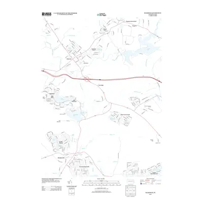
2013 Map of Blakeslee
USGS Topo · Published 2013About this map
The Pocono International Raceway and Poconol Raceway dominate the eastern landscape of this Pennsylvania quadrangle, marking the area's transition into a major regional destination. To the west, the economy is anchored by recreation, with Split Rock Ski Area and Big Boulder Ski Resort situated near the waters of Lake Harmony and Big Boulder Lake. The map reveals a high density of planned communities and residential developments that emerged in the latter half of the 20th century, including Camelot Forest, Towamensing Trails, and Holiday Pocono. This development pattern is interspersed with natural features like Tobyhanna Falls on Tobyhanna Cr and the heights of Pimple Hill, where the Pohopoco Tower stands. The confluence of early settlements like Blakeslee and Albrightsville with large-scale sporting and vacation infrastructure illustrates the modern character of the Poconos.
Find a feature on this map
217 named features on this map. Tap any name to fly to it.
Don’t see what you’re looking for? This feature index may not catch every label — zoom into the map to look around manually.
Map Details
Editions of this 2013 Blakeslee Map
This is the sole edition of this map. No revisions or reprints were ever made.
Other maps of this area

1914 · Wind Gap
USGS Topo · 1:62,500

1916 · Wind Gap
USGS Topo · 1:62,500

1919 · Pocono
USGS Topo · 1:62,500

1921 · Pocono
USGS Topo · 1:62,500

1922 · Mauch Chunk
USGS Topo · 1:62,500

1922 · Stoddartsville
USGS Topo · 1:62,500

1923 · Pocono
USGS Topo · 1:62,500

1924 · Stoddartsville
USGS Topo · 1:62,500

1924 · Mauch Chunk
USGS Topo · 1:62,500

1943 · Scranton
USGS Topo · 1:125,000
Featured Places
- Kidder Township, PA
- William Warke's Acres, Tunkhannock Township
- Pocono Pines, Tobyhanna Township
- Albrightsville, Kidder Township
- Tobyhanna Township, PA